


Meteorologist Kristy Steward's First Warning Forecast
Happy Sunday evening! It was a beautiful end to our weekend, but now it’s time to break out the rain jackets again. We have several rainy days in the week ahead.
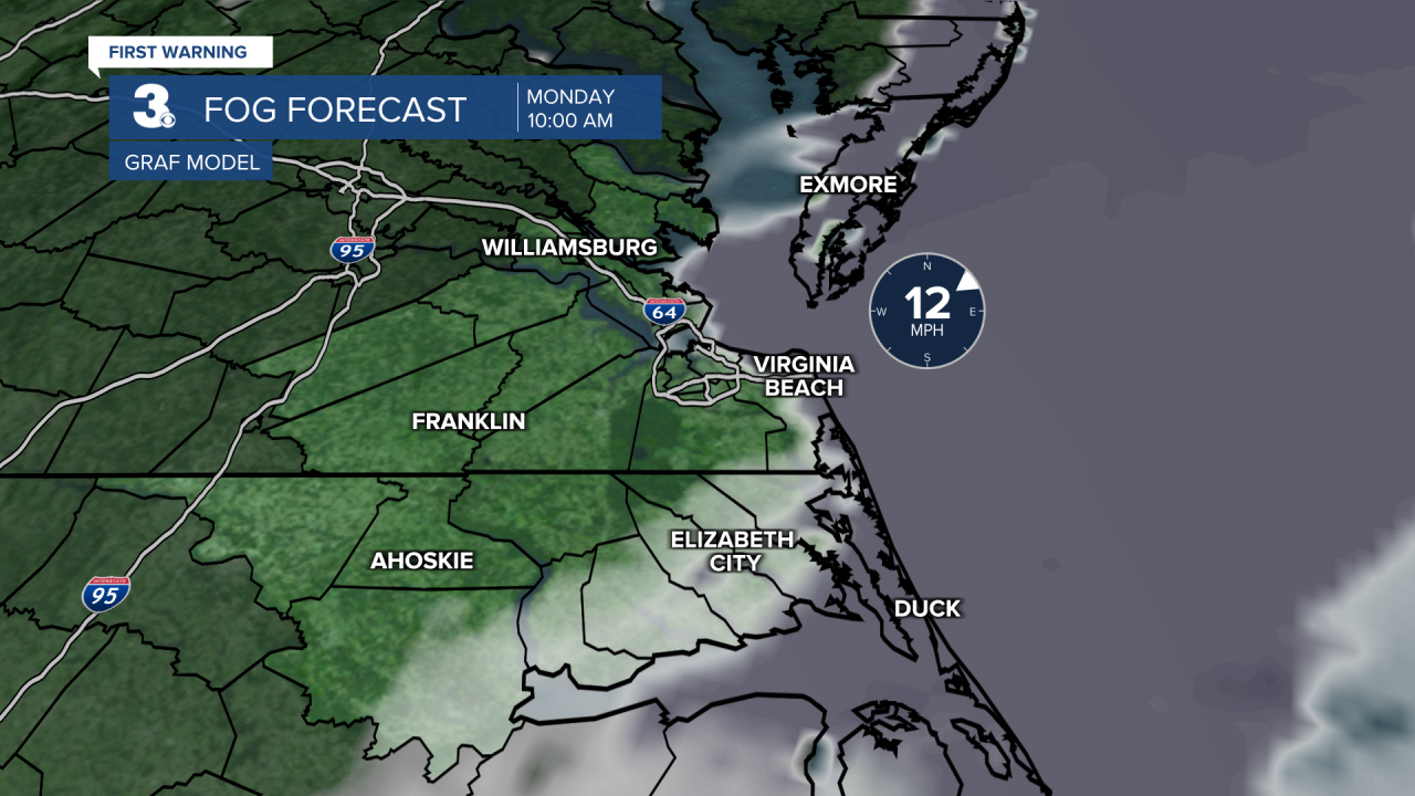
Ocean fog will roll inland tonight, so our immediate coastal communities can expect patchy fog during the morning commute. Temperatures will be in the upper 40s Monday morning.
A developing area of low pressure will ride along the coast from the south to the north throughout the day Monday. Scattered rain starts around sunrise in the Outer Banks making its way into Southside by the late morning/early afternoon hours and north from there. For the evening commute, everyone will likely have to deal with widespread light to moderate rain. A few heavier downpours can’t be ruled out. High temperatures will be around 60°. It will also be breezy.
We dry out by sunrise Tuesday and some clouds clear out too. Highs on Tuesday in the lower 60s.

Wednesday warms to the mid 60s, but it will be another wet and windy day. Scattered to widespread rain all day.
After a cold front late Wednesday, temperatures will be cooler for the end of the workweek. Highs Thursday in the upper 50s and on Friday in the mid 50s. Both Thursday and Friday look partly cloudy and mostly dry.

Yet another system impacts us for the weekend. We’ll have a soggy Saturday with strong gusty winds. On the backside of this mature system, breezy winds remain and we could have isolated showers throughout Sunday.
Connect with Meteorologist Kristy Steward:
FACEBOOK
TWITTER
INSTAGRAM
