


Meteorologist Kristy Steward's First Warning Forecast
Happy Wednesday evening! Temperatures were warmer today. If you like the 80s, enjoy Thursday because temperatures gradually fall into the weekend and next week.
We’ll have some spotty showers continuing this evening and tonight. Lows will be on the warmer side in the low to mid 60s.
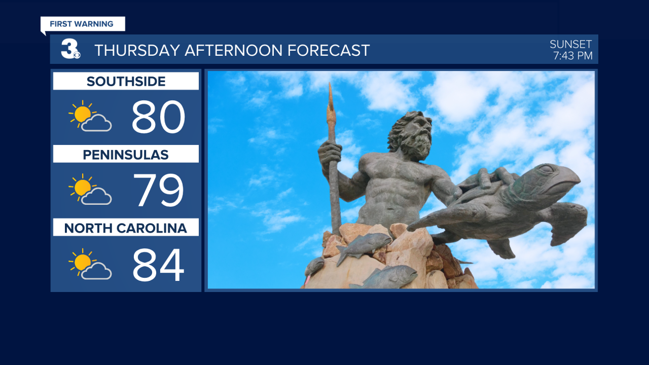
Thursday is looking mostly dry with more sunshine than clouds. High temperatures reach the lower 80s for most, a few may touch the mid 80s.
We notice much cooler air Friday and Saturday. Highs both days in the upper 60s. Isolated storms are possible Friday afternoon and evening. Those storms could become strong to severe. Northeastern North Carolina is under a level 1 of 5 risk for severe storms Friday.

Isolated rain showers could continue Saturday. Sunday looks like the wetter of the two weekend days. Scattered rain showers Sunday afternoon into Monday morning. Temperatures will be the coolest Sunday and Monday with highs only in the low 60s.

We dry out for the middle of the workweek and see a bit more sunshine. Temperatures also warm up. Highs in the upper 60s Tuesday rise above-average into the mid 70s Wednesday.
Connect with Meteorologist Kristy Steward:
FACEBOOK
X
INSTAGRAM
