


Meteorologist Kristy Steward's First Warning Forecast
Good Wednesday night! Scattered storms are continuing to push through. The severe threat has passed, but these storms are still producing lots of lightning and heavy downpours ahead of a slowly approaching cold front. Storms should end around Midnight. Then, we’ll have more rounds of storms as we head into this weekend.
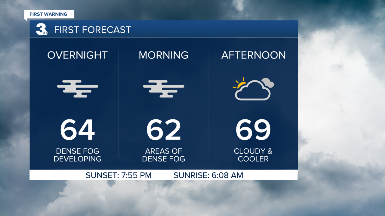
Following these heavy downpours tonight, dense patchy fog will form early Thursday morning and could impact your morning commute. Temperatures will stay warm tonight in the low 60s, but won’t warm much tomorrow. Highs Thursday in the upper 60s to low 70s.
We catch a dry break Thursday, but the clouds stick around as we stay in an unsettled pattern. The stalled boundary to our south will lift north as a warm front Friday, then the center of a low pressure system passes through Hampton Roads Saturday. That warm front helps us warm into the mid 70s Friday and Saturday, but it also brings us scattered thunderstorms both days, especially in the afternoon and evening hours.
Mother’s Day will be cooler and less wet, but some showers are still possible. High temperatures in the lower 60s.

The first half of next week will be mostly dry with a mix of sun and clouds. We also hop on a gradual warming trend. Highs in the mid 60s Monday rise a couple degrees to the upper 60s Tuesday and low 70s Wednesday.
Connect with Meteorologist Kristy Steward:
