


Meteorologist April Loveland's First Warning Forecast
We will be in a quiet weather pattern for the rest of the week. Temperatures will continue to gradually warm as the week progresses. The normal high in Norfolk is now 52 degrees. Expect temperatures to be above normal for the remainder of the week. Things take a turn heading into the weekend. Could more snow be on the way?
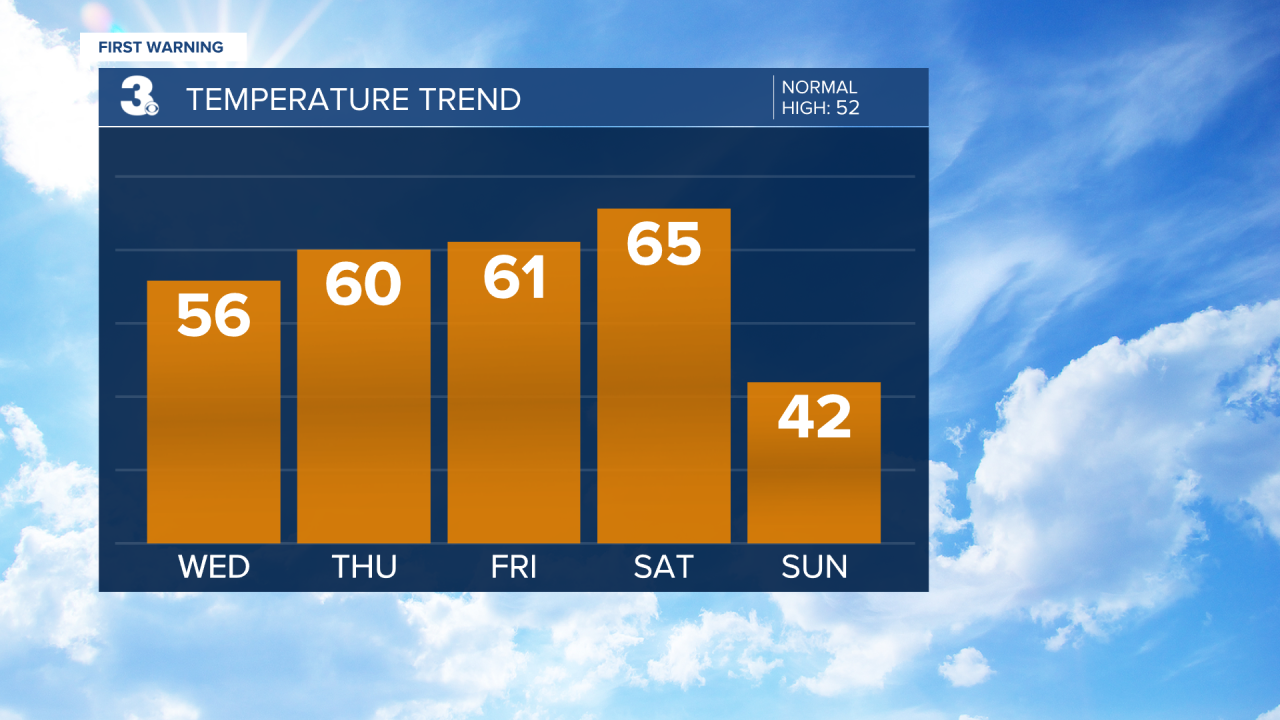
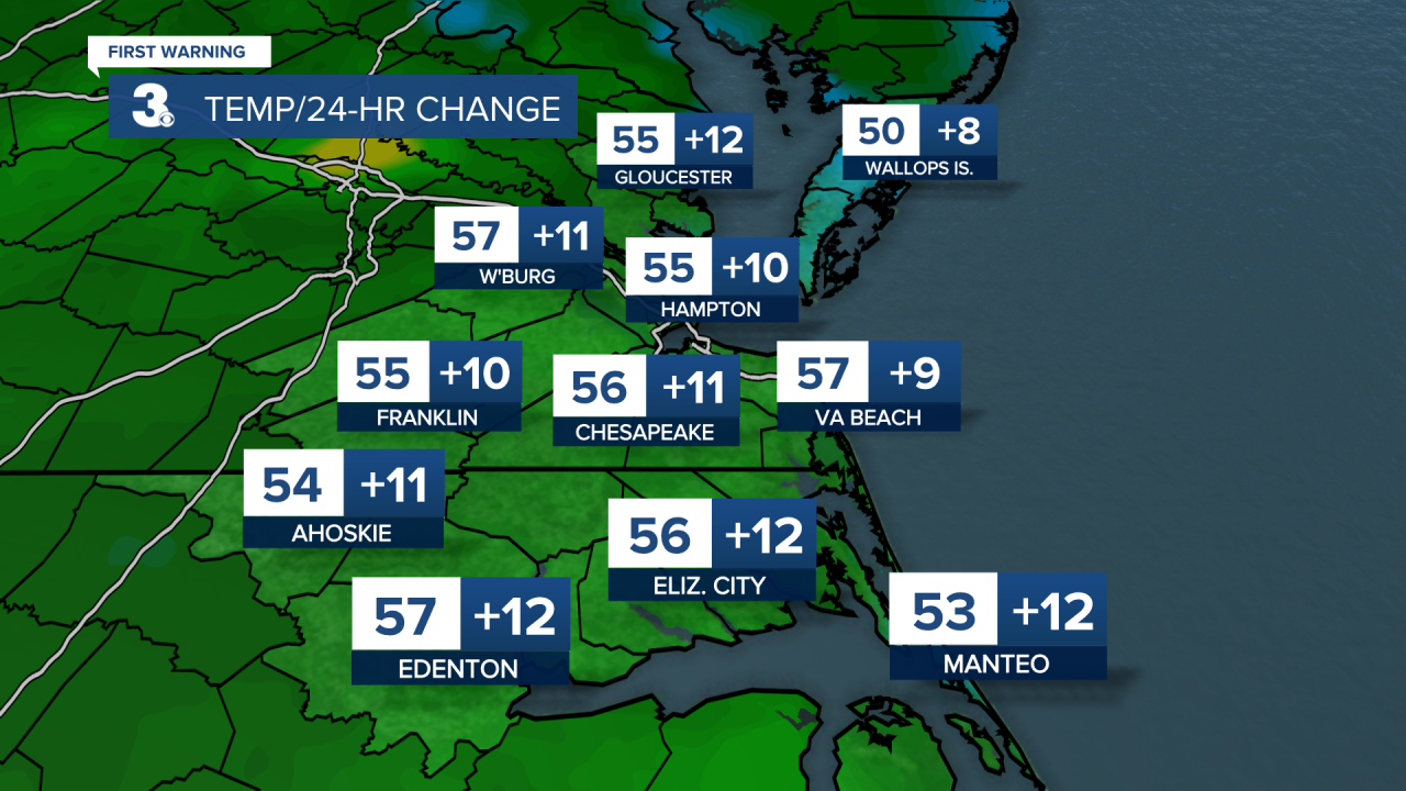
Dry with wall-to-wall sunshine today. Highs will warm to the mid 50s. Much warmer than the past few days!
Even warmer by Thursday and Friday with highs in the low 60s. No chances of rain, so if you need to head to the car wash, this will be your week!
The weekend will be 50/50. Saturday will feature sunshine and highs in the mid 60s. Our attention turns to the next weather maker on Sunday.
A cold front is set to move through the region Saturday night to Sunday and an area of low pressure will track across the Southeast on Sunday. The cold front may not have a ton of moisture with it, but it will bring back the cold air. Highs will only reach the low 40s on Sunday, a 20+ degree cool down. The area of low pressure will likely bring us some rain during the day Sunday. As temperatures drop to the 30s and 20s Sunday evening to night that rain could switch over to snow. Timing is still up in the air. As of now, models are painting in a snow accumulation range from 0” to about 3”.

STAY TUNED! We will continue to provide more updates on timing and potential totals.
Meteorologist April Loveland
For weather updates on Facebook: HERE
Follow me on Twitter: HERE
Follow me on Instagram HERE
Check out the Interactive Radar on WTKR.com: Interactive Radar
