


Meteorologist Kristy Steward's First Warning Forecast
Good Thursday night! St. Patrick's day started off soggy, then dried out nicely. Now we're tracking a different system that could bring us more storms soon.
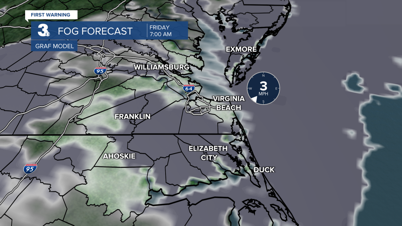
Clouds are starting to clear out tonight. With those clearing clouds, dense patchy fog is forming and will continue to spread east Friday morning.
Ahead of another approaching system, clouds increase later Friday afternoon. Friday will stay dry and it’ll be warmer. Highs in the low to mid 70s. Ahead of the cold front with this system, stronger southerly winds will help temperatures touch 80° Saturday. Friday night through Saturday afternoon, isolated to scattered rain showers and storms will pass through. Some of these storms could become severe. We are all under a Level 2 out of 5 severe weather risk. Our main concern is damaging wind gusts.

Behind this front, temperatures cool down to the mid 60s for the first day of Spring on Sunday. High pressure moves in for the second half of the weekend, bringing us lots of sunshine Sunday into Monday. Temperatures remain in the mid 60s most of the workweek. We stay dry until yet another system decides to move through midweek. Forecast models are hinting at this being a strong cold front that could bring a round of severe weather Wednesday into Thursday.
Connect with Meteorologist Kristy Steward:
