


Meteorologist April Loveland's First Warning Forecast
We're just 27 days away from the First Day of Spring, but it will already feel like it this week. What days we will warm to the 70s and how many days you'll need the umbrella.

Today will be a gorgeous one, with highs in the low and mid 60s. That's about 20 degrees warmer than yesterday! Clouds will build in as the day progresses.

Tuesday will be breezy with a few spotty showers possible, otherwise skies will be mostly cloudy. It will be warm with highs near 70.
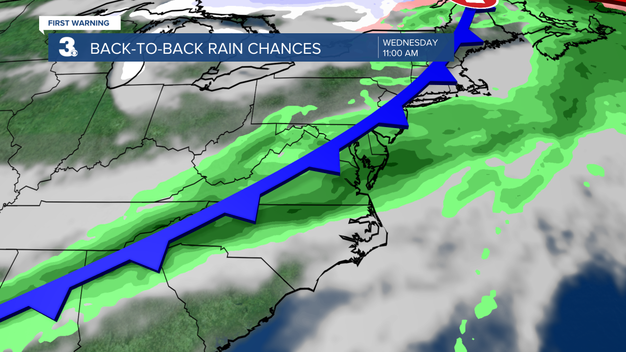
We'll enter an unsettled weather pattern starting Wednesday. Several disturbances will move through the area through the end of the week bringing a chance for showers. Wednesday is looking
to be the wettest day with highs in the low 70s. Showers will be possible on Thursday, but it will be much cooler with highs in the upper 40s and low 50s. Another warm up on Friday with highs in the upper 60s. Expect to need the umbrella.
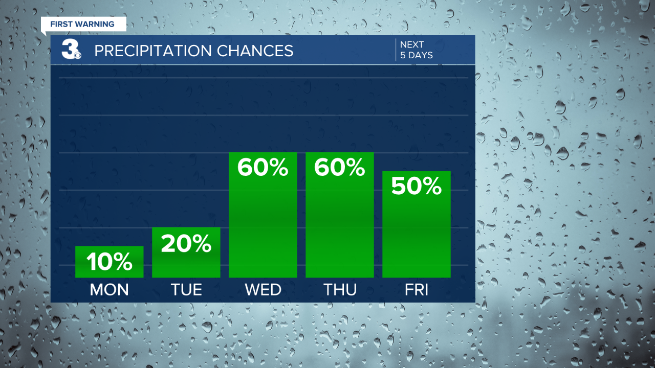
We'll dry out just in time for the weekend. Saturday will be much colder with highs only in the low and mid 40s. Scattered showers will return on Sunday with highs in the upper 40s.
Meteorologist April Loveland
For weather updates on Facebook: HERE
Follow me on Twitter: HERE
Follow me on Instagram HERE
Check out the Interactive Radar on WTKR.com: Interactive Radar
