


Meteorologist Kristy Steward's First Warning Forecast
Good Wednesday night! Today was a beautiful Spring-like day. Hopefully you got out and enjoyed it because a cold front will soon send our temperatures crashing.
A cold front is set to slowly pass through Thursday. Ahead of it, a mild night is in store. Lows in the upper 40s and a clear sky. With the front, we’ll stay dry with passing clouds Thursday. Highs in the low to mid 60s will be reached mid-morning before the front’s passage brings us dropping temperatures throughout the evening. We’ll eventually plunge down to the mid 30s overnight.

Friday we get another hit of Winter. Highs in the upper 40s. Staying dry and partly cloudy to end the workweek.
This weekend Spring returns! Highs Saturday in the mid 60s and mid 70s for Sunday. A few stray showers are possible, but our weekend is looking mostly dry. By Monday we could hit 80° – our first 80°+ day since October 21!
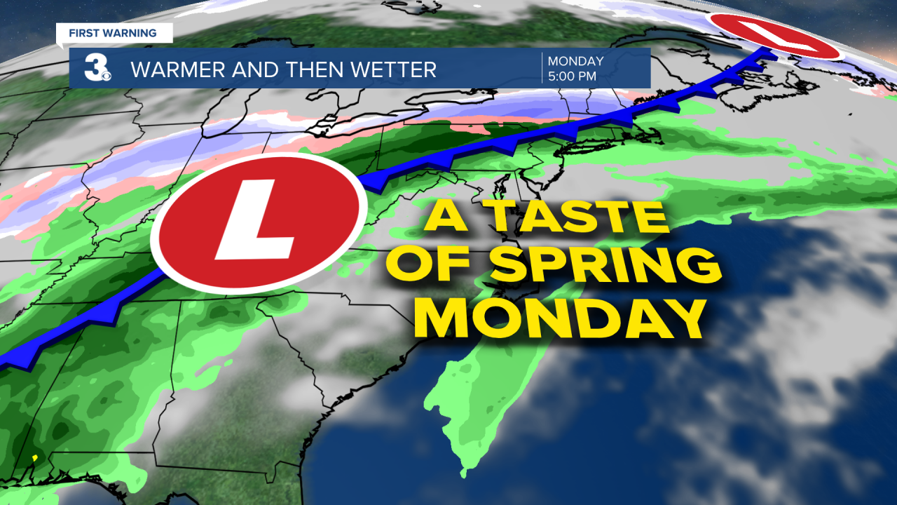
Those 80s won’t be here for too long though. Another cold front Tuesday morning will drop us back down into the low 60s and upper 50s for the middle of the week. It’ll also bring us scattered rain showers throughout Tuesday into Wednesday morning.
Connect with Meteorologist Kristy Steward:
