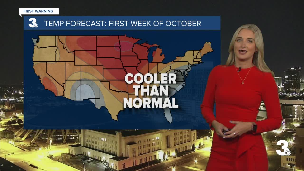
Meteorologist April Loveland's First Warning Forecast
A brief warming trend starts today. Winds have turned to the southwest which will help to pump in warmer air. Expect lots of sunshine today with highs in the low 80s. High pressure will be in control. Mostly clear overnight, but not quite as cool. Lows will fall into the upper 50s and low 60s.
Winds will pick up a bit out of the southwest on Tuesday. Dewpoints and temperatures will climb and highs will warm to the mid 80s. This will be the warmest day of the week. A cold front will cross the area during the afternoon and evening bringing a chance of late-day isolated showers and storms. Strong to severe storms will be possible especially across the peninsulas. The Storm Prediction Center has the far northern portions of the viewing area under a level 1 for severe storms. The biggest threat will be damaging wind gusts. Dry weather heading into Wednesday as high pressure builds over the area. It will be about 10 degrees cooler behind the front with highs in the mid and upper 70s.
Sunshine will continue to prevail on Thursday with highs in the mid 70s. Winds will continue to increase out of the north and northeast.
Expect breezy conditions Friday through Sunday. A system will be to the north of the area, but looks like high pressure will dominate and will keep the area dry through the weekend, but we will continue to monitor this. Highs will warm to the low and mid 70s.
Tropical Update
Sam is a category 3 hurricane and is moving toward the northwest near 8 mph and this motion is expected to continue for the next few days, with an increase in forward speed beginning on Thursday. A turn to the north is expected on Friday. On the forecast track, Sam will pass well to the northeast of the northern Leeward Islands Wednesday and Thursday. Maximum sustained winds are near 125 mph with higher gusts. Fluctuations in intensity are possible during the next days, although Sam is forecast to remain a major hurricane through at least Thursday night. Hurricane-force winds extend outward up to 30 miles from the center and tropical-storm-force winds extend outward up to 105 miles.

Meteorologist April Loveland
For weather updates on Facebook: HERE
Follow me on Twitter: HERE
Follow me on Instagram HERE
Check out the Interactive Radar on WTKR.com: Interactive Radar


