


Meteorologist Kristy Steward's First Warning Forecast
Happy Saturday night! Sunday will be a much different day than Saturday was. The workweek will be a bit variable too.
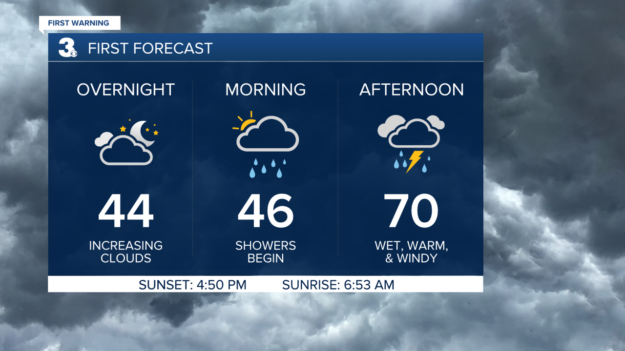
A system Sunday will bring us increasing clouds tonight. Lows drop into the mid 40s in the middle of the night. South winds begin to pick up to 10-20 MPH with gusts up to 30 MPH and that will help temperatures soar to around 70° by the afternoon. Rain showers begin around 7 AM and continue throughout the daytime hours. A few thunderstorms may be embedded as well. There may be a few lingering showers Sunday evening, but most areas will have dried out by 6 PM.
The workweek starts off dry with plenty of sunshine. Highs on Monday in the low 60s drop to the mid 50s Tuesday. Our third system arrives Wednesday.
Expect another warmer, windier, wetter day Wednesday. Highs in the mid 60s. Rain showers look to hold off until the afternoon and continue into Wednesday night.
Behind this system, temperatures will be cooler in the low 50s to end the workweek. Thursday and Friday both look dry with plenty of sunshine.
Next Saturday temperatures return to the low 60s and we look mostly dry.
Connect with Meteorologist Kristy Steward:
FACEBOOK
TWITTER
INSTAGRAM
