


Meteorologist April Loveland's First Warning Forecast
A warming trend is on the way, along with an unsettled stretch of weather.

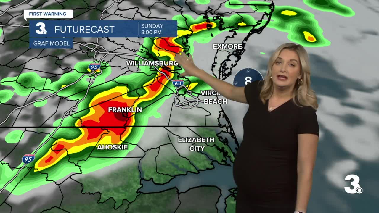
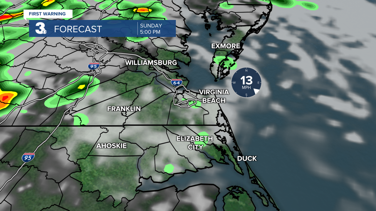
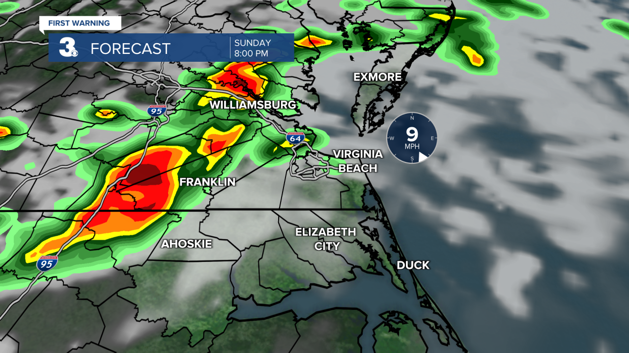
A warm front will lift over the area today. We'll see a pretty big temperatures gradient with highs in the 60s to the northeast and 80s to the southwest. A cold front will approach bringing scattered showers and storms this evening after 6 PM. Some storms could become strong to severe.

Timing: 6 PM-11PM
The biggest threat will be damaging wind gusts. An isolated tornado is also possible.
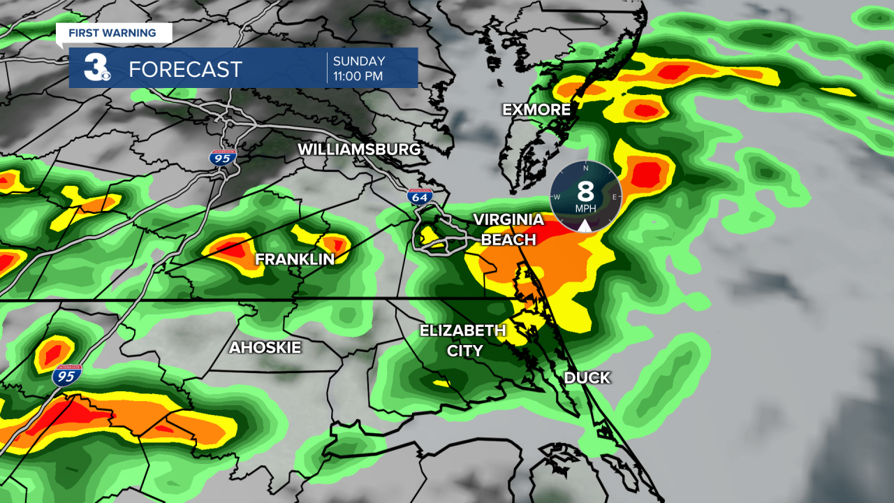
Behind the storms tonight, areas that get heavy rain could see patchy fog develop.
Even warmer to kick off the work week. Many communities will soar into the low 80s. A few lingering morning showers will be possible. After that, expect clearing skies.
A weak disturbance will move through on Tuesday bringing the chance for a few spotty showers or storms. Highs will be in the mid 70s.
Better chance for showers and storms on Wednesday as a cold front approaches. It will be the warmest day of the week with highs in the low and mid 80s. We will have to watch out for a severe threat potential. We will continue to keep an eye on this.
Cooler and drier on Thursday with highs in the low 70s under partly cloudy skies.
Shower chances will increase by Friday afternoon with highs in the mid 70s.
Meteorologist April Loveland
For weather updates on Facebook: HERE
Follow me on Twitter: HERE
Follow me on Instagram HERE
Check out the Interactive Radar on WTKR.com: Interactive Radar
