

Meteorologist Tony Nargi's First Warning Forecast
This evening temperatures won't drop off too harshly, with mostly cloudy skies developing and winds out of the south keeping up mild overnight. Overnight lows will reach the upper 30s to low 40s, with winds out of the S at 5-10 mph.

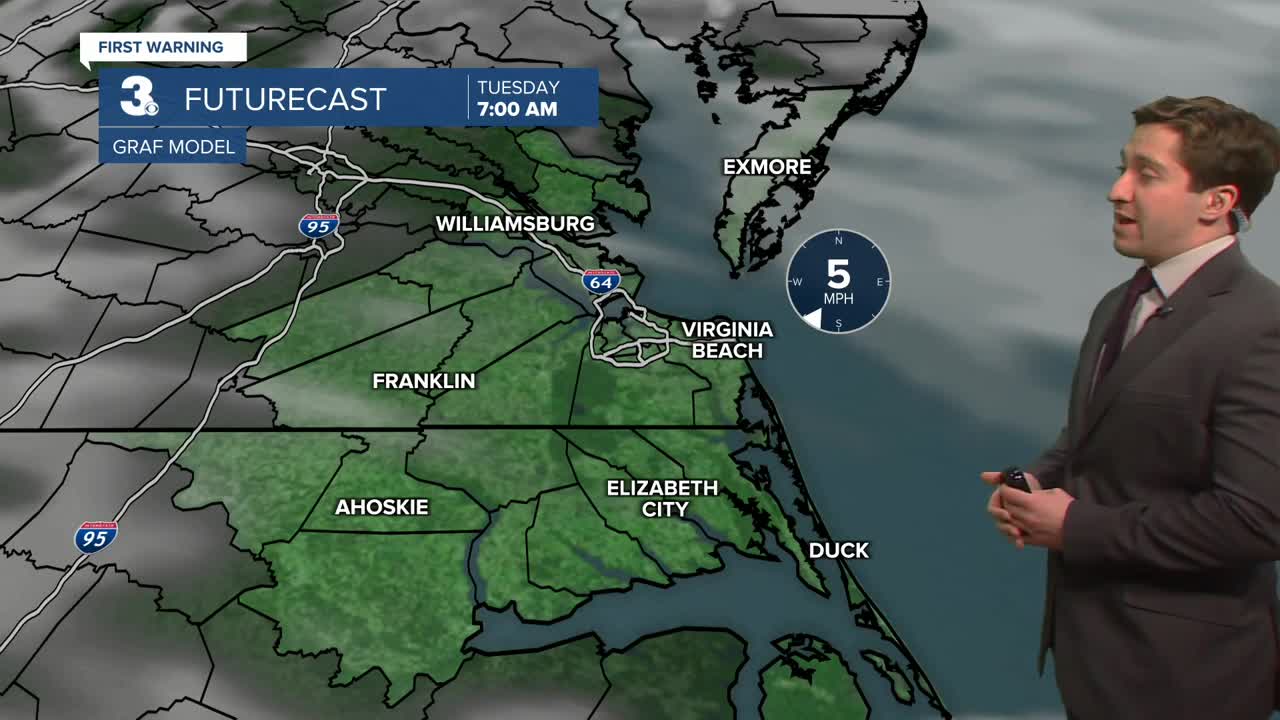
Tomorrow will start off partly cloudy with winds out of the SW at 5-10 mph. Winds will pick up during the afternoon with increasing cloud cover. By the afternoon high temperatures will reach the upper 50s to low 60s. Winds will be out of the SW at 10-15 mph, with gusts up to 25 mph possible. Temperatures overnight Tuesday will only drop into the 40s. A stray shower is possible Tuesday evening on the Outer Banks.

Wednesday will be another mild day as our warm spell continues. Highs will reach the low to mid 60s, with mostly sunny skies expected. Wind will be out of the W at 5-10 mph. Temperatures will drop off a little on Thursday but remain above average, with highs in the mid 50s to near 60. Winds will out of the SE at 5-10 mph with partly cloudy skies.

Dry weather lasts into Friday with just a 20% chance of rain and temps in the upper 60s. Our next widespread rain chance will be Saturday into Sunday as a cold front moves through the region.

Weather updates on social media:
