

Meteorologist Tony Nargi's First Warning Forecast
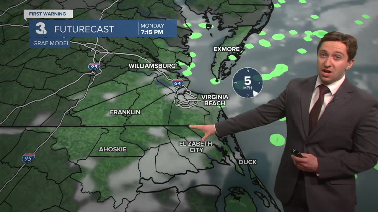
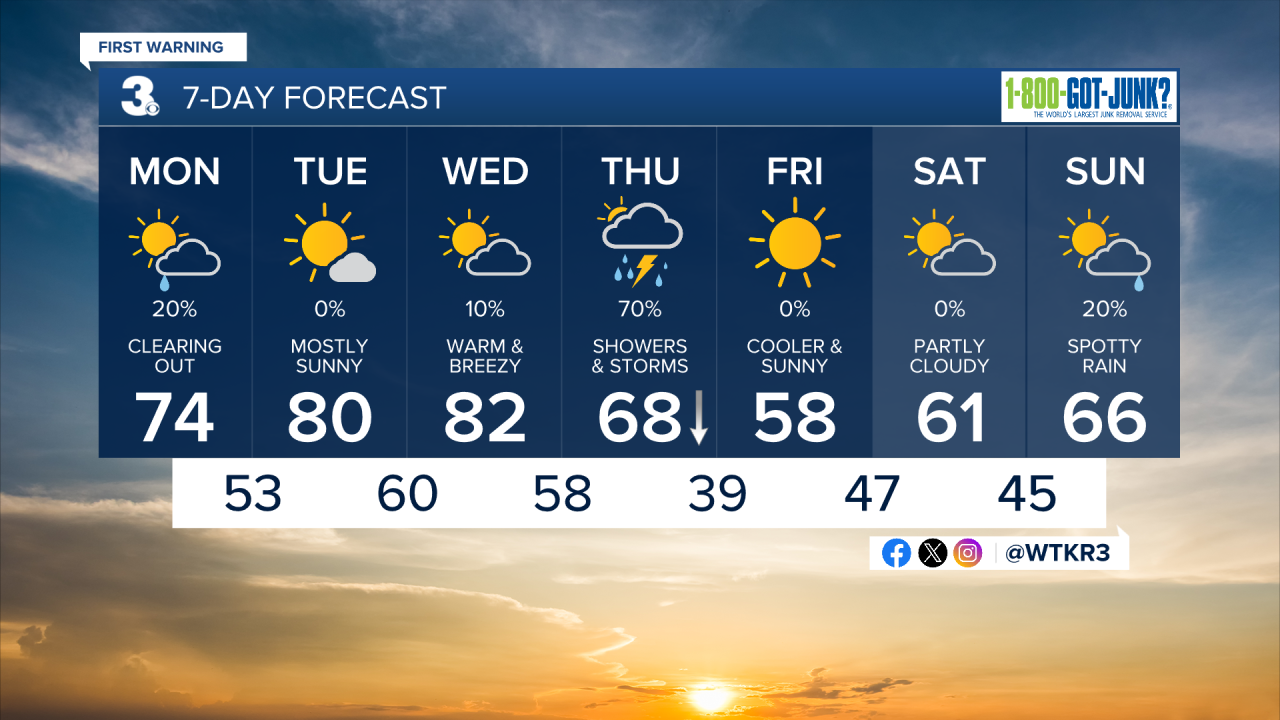
Today will start out with some patchy fog and stray showers. We'll warm up to the low to mid 70s this afternoon with mostly sunny skies developing as well. Winds will be light out of the S at 5-10 mph. A stray shower may develop during the afternoon, with most of the area staying dry. Overnight temperatures will only drop into the 50s, with patchy fog possible once again.


Tomorrow morning will start off with some patchy fog. We'll see mostly sunny skies on Tuesday, with near-record highs in the upper 70s to low 80s. Winds will be light out of the SW at 5-10 mph. Tuesday night temperatures will get down only to the upper 50s and low 60s. Wednesday will be very warm and windy, with record highs possible in the upper 70s to mid 80s. It will be breezy, with winds out of the SW at 10-20 mph. A stray shower is possible Wednesday afternoon. Overnight Wednesday clouds will fill in as our next widespread rain event moves in.


A cold front will arrive on Thursday, bringing showers and thunderstorms along with dropping temperatures. By Friday temperatures will drop to normal in the upper 50s, with 60s returning by the weekend.
Weather updates on social media:
