

Meteorologist Tony Nargi's First Warning Forecast
Today will be mostly cloudy and seasonable with temperatures starting out in the upper 20s and 30s then increasing into the low to mid 50s during the afternoon. A stray shower or sprinkle is possible this afternoon. Winds will be lighter than yesterday, out of the SE at 5-10 mph. Overnight cloudy skies will remain in place, with temperatures only falling into the mid to upper 40s during the evening then increasing into the 50s after midnight. Winds will start to pick up out of the SW overnight.

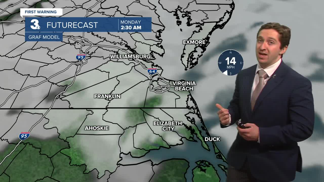
Tomorrow will be mostly cloudy and warm with temperatures starting off in the 50s and even low 60s, with high temperatures reaching the mid to upper 60s during the early afternoon. Winds will be strong out of the SW at 15-25 mph. A cold front will move through the region from west to east during the afternoon, with a line of showers likely forming along with it. The best chance for showers will be between 1 pm and 4 pm, with temperatures quickly falling after the showers depart. Overnight lows will drop into the low 30s and 20s. Temperatures will be much cooler on Tuesday, with highs in the upper 30s to mid 40s. We'll see clear skies and breezy conditions Tuesday, with winds out of the W at 10-20 mph.


Temperatures will stay seasonably cool to end out the year, with high temperatures staying the 40s. We'll see mainly dry conditions after Monday next week.

Weather updates on social media:
