

Meteorologist Tony Nargi's First Warning Forecast
This evening our winds will drop off, and temperatures will fall into the 20s and teens overnight. Winds will fall to 5-10 mph, with some clouds moving in. A stray flurry is possible. Another Cold Weather Advisory is in effect tonight for the Eastern Shore and Middle Peninsula.

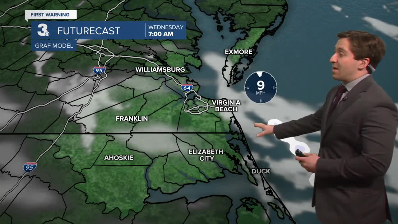
Tomorrow will have a mix of sun and clouds during the morning followed by mostly sunny skies during the afternoon. High temperatures will reach the low to mid 30s. Winds will be light out of the W at 5-10 mph. Overnight lows will drop into the teens and 20s again, with a stray flurry possible as well.


Thursday will be another cold one, with highs in the low to mid 30s. Winds will be light out of the NW at 5-10 mph. On Friday temperatures will drop a hair into the upper 20s and low 30s for highs. Clouds will build in during the afternoon and evening Friday as a coastal storm develops offshore.

This weekend we're keeping our eye on a developing coastal low that could strengthen into a powerful Nor'easter. Some snow looks likely; however the range of possibilities is still large, from light snow flurries to widespread accumulating snow. Stay tuned for updates as the storm track becomes more clear.

Weather updates on social media:
