

Meteorologist Tony Nargi's First Warning Forecast
Today will be partly cloudy with high temperatures in the 50s along the coast and low 60s inland. A backdoor cold front will cause temperatures to drop into the 40s this afternoon along the coast. Winds will start out light out of the SW at 5-10 mph, turning out of the NE at 10-20 mph during the afternoon. Overnight we'll see clouds start to build, with lows dropping into the 30s.

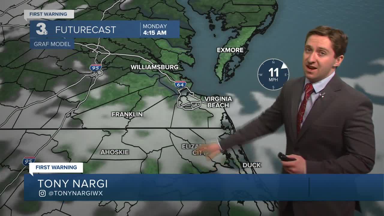
Tomorrow will be mostly cloudy and cool, with high temperatures in the upper 30s to low 40s. Winds will be out of the NE at 10-20 mph. Some rain and rain/snow mix showers are possible during the afternoon; no accumulation is expected. Overnight scattered rain/snow showers will turn to all rain showers. Lows will be in the upper 30s, with temperatures increasing after midnight. On Tuesday, some scattered showers are expected during the morning, followed by partial clearing during the afternoon. High temperatures will reach the low to mid 50s. Winds will be out of the W at 5-15 mph.


By the middle of next week temperatures will be on the rise, with highs on Wednesday reaching the upper 60s to near 70. By the end of the week we'll see high temperatures in the low to mid 70s, with some great weather expected by next weekend.

Weather updates on social media:
