


Chief Meteorologist Patrick Rockey’s First Warning Forecast
After last week's weather extremes, we've settled into Goldilocks weather this week: not too warm and not too cold.
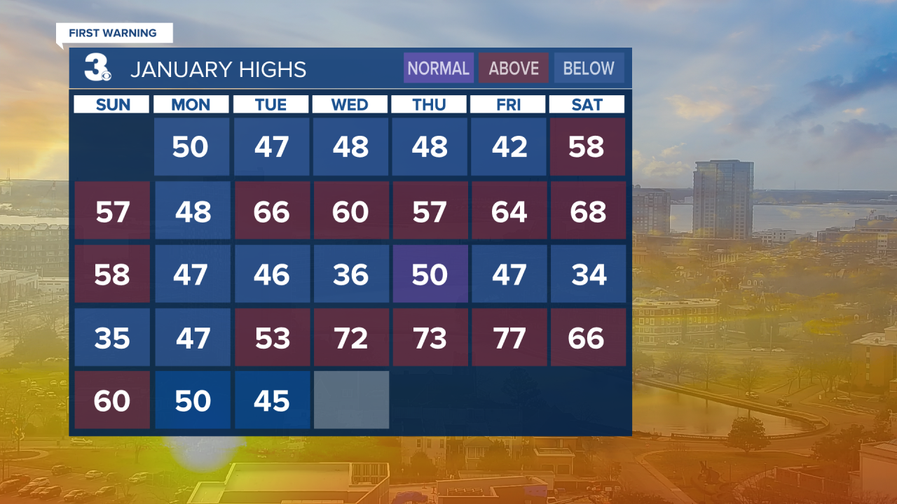
Our normal high temperature for late January and early February is in the lower 50s. And we shouldn't be too far off of that through the rest of the week. But it does get a little cooler and wetter early next week.
In fact, we could see a little bit of wet weather on Wednesday morning as a fast-moving storm system spins through the area.

We aren't expect much rain from it. And anything that does fall should be gone by early afternoon. However, as the storm system intensifies off the coast, our winds will increase a bit in the afternoon.
After that, dry and warmer weather will return for the rest of the work week.

We're expecting plenty of sunshine, with highs in the mid 50s on Thursday and Friday.
The dry weather continues through the weekend, but it will be a few degrees cooler. In fact, most of us won't climb out of the 40s on Saturday. Sunday should be a few degrees warmer.
Another storm system moves in on Monday, bringing increasing clouds and showers by afternoon. A little wet weather may linger into Tuesday morning before we dry out. Stay tuned.
