

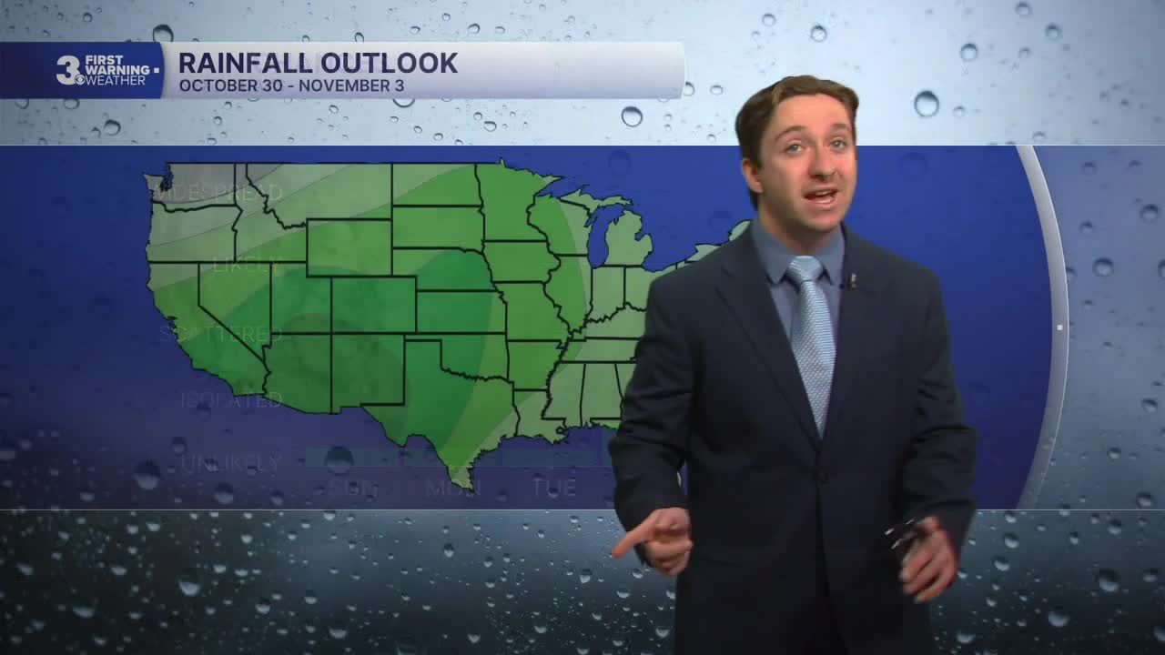


Meteorologist Tony Nargi's First Warning Forecast
Today will start out with a few clouds early with clear skies emerging by late morning. We'll see high temperatures in the mid 60s with winds out of the NE at 10-15 mph and gusts to 20 mph. Some nuisance tidal flooding is possible this morning. Overnight skies will be clear with lows in the 40s inland and 50s closer to the coast.

Tomorrow will be another sunny day with clear skies expected along with lighter winds. High temperatures will reach the mid 60s with winds out of the N at 5-10 mph. Clear skies and calm winds overnight Monday will lead to some chilly overnight lows, with temperatures dropping into the upper 30s inland with upper 40s to low 50s closer to the coast.

Tuesday will be another sunny day with similar temperatures in the mid 60s. On Wednesday clouds will increase, but rain is unlikely, with just a 10% chance of a stray shower on the Outer Banks.
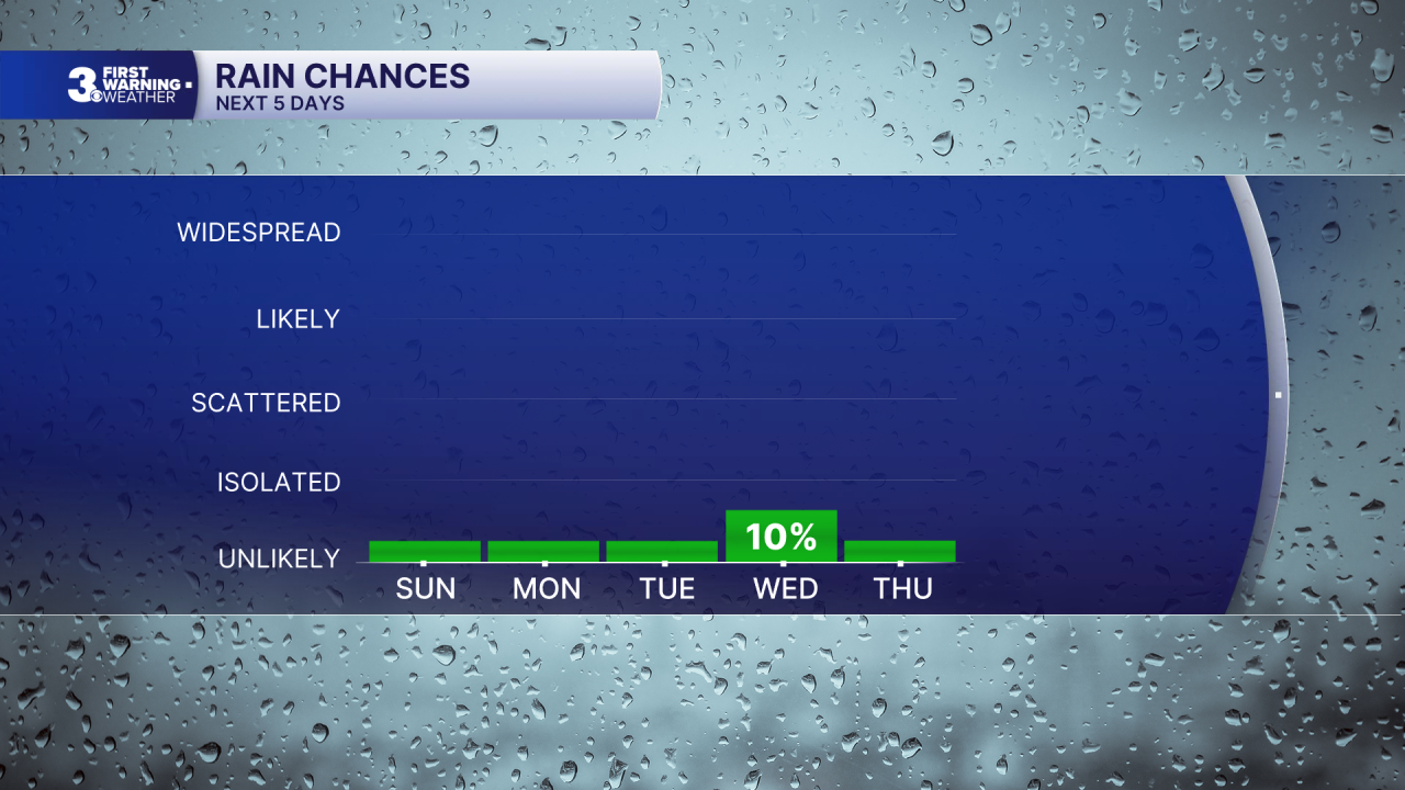
Dry conditions will follow us into next weekend, with temperatures slowly stepping up to around 70s. Halloween (Saturday) is looking great for trick-or-treaters with dry conditions and partly cloudy skies!

Weather updates on social media:
