

Meteorologist Tony Nargi's First Warning Forecast
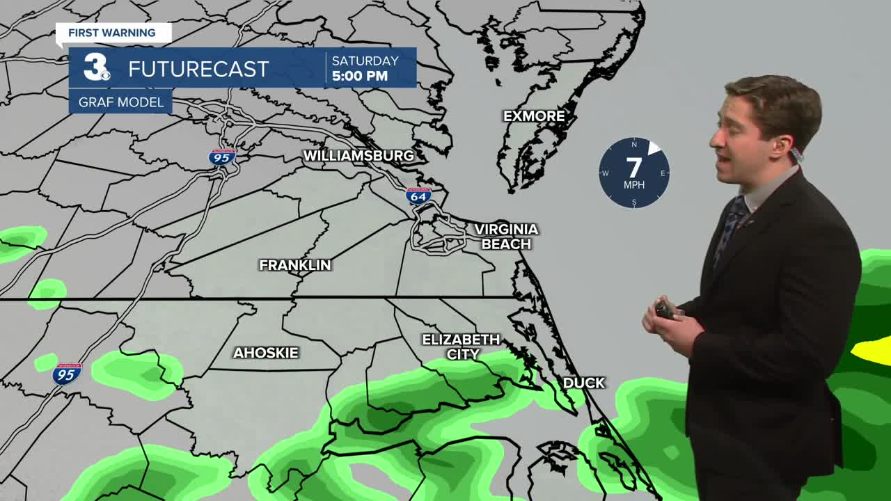
Today will be cloudy with occasional showers possible during the afternoon. Some sleet or snow may mix in with the showers, particularly on the Peninsula and Eastern Shore. Chance of precipitation is 40%, with a higher chance of showers on the Outer Banks. It will be cool, with high temperatures in the upper 30s to low 40s. Winds will be light out of the NE at 5-10 mph. Overnight skies will clear, with low temperatures dropping into the upper 20s and low 30s.


Tomorrow will be sunny and cool with highs in the low to mid 40s. Winds will be a bit stronger tomorrow, out of the NW at 10-15 mph. Overnight temperatures will drop into the 20s and low 30s. We'll see some clouds move in Sunday night, with partly cloudy skies expected by Monday. Monday will be a step warmer than Sunday, with high temperatures in the mid 40s to near 50. Winds will be out of the S at 10-15 mph.

A warmer pattern sets in beginning Tuesday/Wednesday, with highs jumping into the upper 50s and 60s as a ridge of high pressure develops to our south. We'll see our chance of rain slowly increase towards next weekend, with temperatures staying above normal.

Weather updates on social media:
