

Meteorologist Tony Nargi's First Warning Forecast
Today will start out mostly sunny and warm with temperatures in the 50s and low 60s during the morning followed by high temperatures in the 60s expected around midday. A cold front will move across the area during the afternoon, bringing a line of showers along with dropping temperatures. Showers are most likely between 12 pm and 4 pm. It will be windy, with winds out of the SW at 15-25 mph with gusts up to 35 mph. Winds will turn out of the NW during the afternoon as temperatures drop into the 20s overnight. Wind chills will reach the upper teens and low 20s by Tuesday morning.


Tuesday will start out cold along with clear skies and windy conditions. Winds will be out of the NW at 10-20 mph, with gusts up to 25 mph. Clear skies are expected all day, with high temperatures in the upper 30s to low 40s. Overnight lows will drop into the 20s, with winds calming down. New Year's Eve will be mostly sunny and cool, with high temperatures in the mid 40s to near 50. Winds will be out of the SW at 10-15 mph. New Year's Eve night should be comfortable, with mostly clear skies and light winds along with temperatures in the upper 30s and low 40s for ball drop.


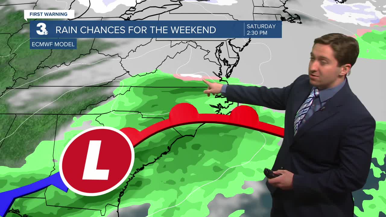
The New Year will start out cool, with highs staying in the 40s. Some rain is possible on Saturday, with mainly dry conditions expected Friday and Sunday.

Weather updates on social media:
