

Meteorologist Tony Nargi's First Warning Forecast
This evening temperatures will drop into the 40s with some partly cloudy skies expected. Overnight some patchy fog is possible. We'll see temperatures increase after midnight to around 50 by sunrise.

Tomorrow will start off with some patchy fog followed by partly cloudy skies. It will be warm with high temperatures reaching the upper 60s to mid 70s, with the exception of the eastern shore where temperatures will top off at around 60. We'll see light winds out of the SW at 5-10 mph. Overnight lows will only drop into the 50s.

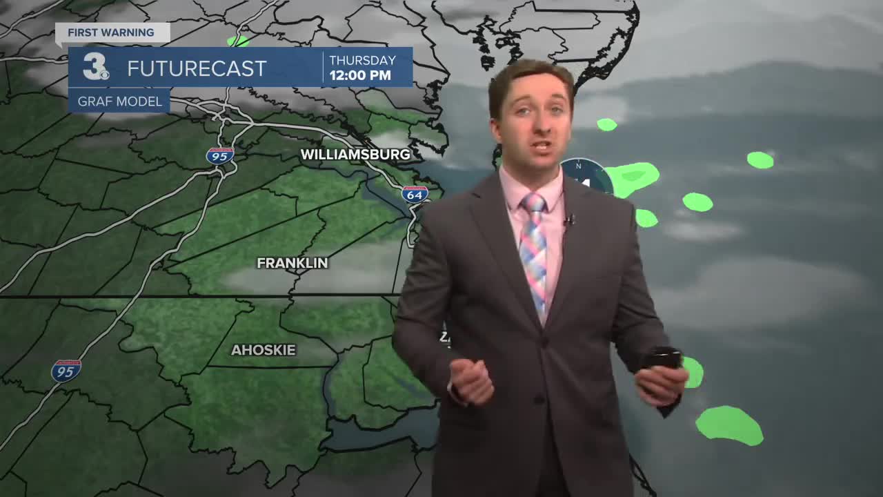
Thursday will be an excellent day, with a spring-like feeling in the air! High temperatures will jump into the mid 70s, with slightly cooler temperatures in the upper 60s on the Eastern Shore. Some patchy fog is possible once again during the morning, with partly cloudy skies and dry conditions expected by the afternoon. Winds will be out of the SW at 10-15 mph. Temperatures will drop off into the mid to upper 50s overnight. Friday will be even warmer with high temperatures in the upper 70s to near 80. We'll see partly cloudy skies again, with mainly dry conditions. Winds will be out of the W at 5-10 mph.


This weekend is looking nice as well, with the upper 70s and dry weather expected again on Saturday! Sunday will be a step cooler but still warm, with high temperatures in the low 70s. A few passing showers are possible Sunday afternoon as well, but it's not expected to rain all day.

Weather updates on social media:
