

Meteorologist Tony Nargi's First Warning Forecast
This evening will be very nice, with temperatures in the mid 50s after sunset along with calming winds. We'll see partly cloudy skies, with clouds increasing later tonight and overnight lows only dropping into the mid to upper 40s.

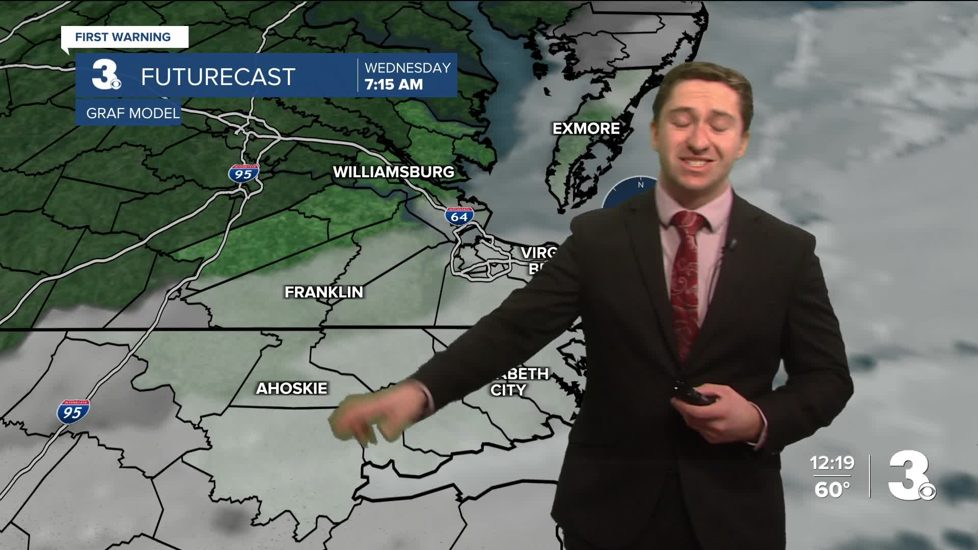
Tomorrow will start off with some clouds, with clearing expected throughout the morning. By midday sunny skies are expected with high temperatures reaching the mid to upper 60s by the afternoon. It will be a great day, with winds out of the W at around 10 mph. Overnight temperatures will drop down into the upper 30s to low 40s.

Thursday will be a bit cooler than Wednesday, but still warmer than normal in the mid to upper 50s. Winds will be NE at 5-10 mph with mostly sunny skies expected. Low's overnight Thursday will get down into the 40s. Friday will be another very warm day, with highs near 70. We'll see some more cloud cover on Friday with stray showers possible.


By Saturday near record high temperatures are possible, with highs in the low 70s. Some showers are possible Saturday as a cold front approaches. Temperatures next week will be closer to normal, so enjoy this nice warm stretch!

Weather updates on social media:
