

Meteorologist Tony Nargi's First Warning Forecast
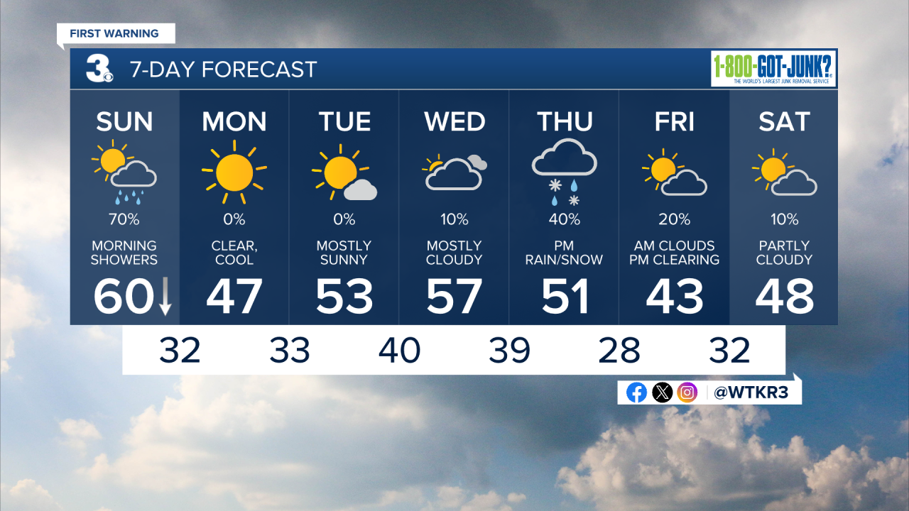
Today will start off with temperatures in the 50s and low 60s to start, with dropping temperatures throughout the morning. Rain is likely between 7 am and 10 am as a cold front moves through. The last of the rain moves off of the Outer Banks by midday, with temperatures dropping into the upper 40s and low 50s by the afternoon. Winds will pick up out of the WNW at 15-25 mph during the afternoon. Skies will clear out this afternoon with clear skies expected overnight. Low temperatures tonight will drop into the 20s and low 30s.

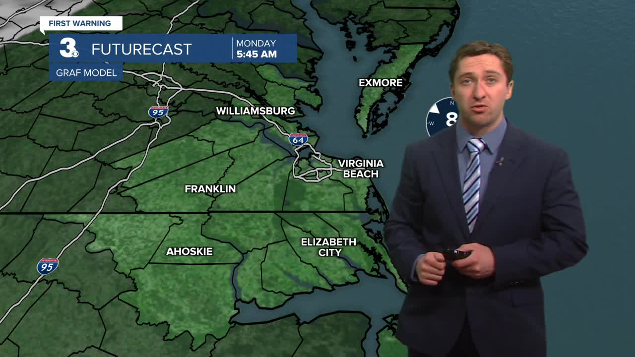
Tomorrow will be sunny and much cooler than we have been, with high temperatures in the 40s. Winds will be lighter out of the SW at 5-10 mph. Overnight temperatures will drop into the 30s. Tuesday will be mostly sunny and seasonable, with high temperatures in the low to mid 50s. Winds will be out of the S at around 10 mph. Clouds will start to move in late Tuesday into Tuesday night.


Our next storm system to track will move in on Thursday, with a low-pressure system transitioning to a coastal low Thursday night. Some rain at first could transition to some wintry mix and wet snow Thursday night as colder air moves in. We'll keep you updated throughout the week as this system gets closer.
Weather updates on social media:
