

Meteorologist Tony Nargi's First Warning Forecast
Today will start off cloudy with rain on the Peninsulas and Eastern Shore along with patchy fog. Rain will push north during the morning, with partly sunny skies during the afternoon. Record warmth is expected, with high temperatures reaching the low to mid 70s. Winds will pick up during the afternoon, out of the S at 10-20 mph. Overnight, another round of showers and isolated thunderstorms are expected after midnight.


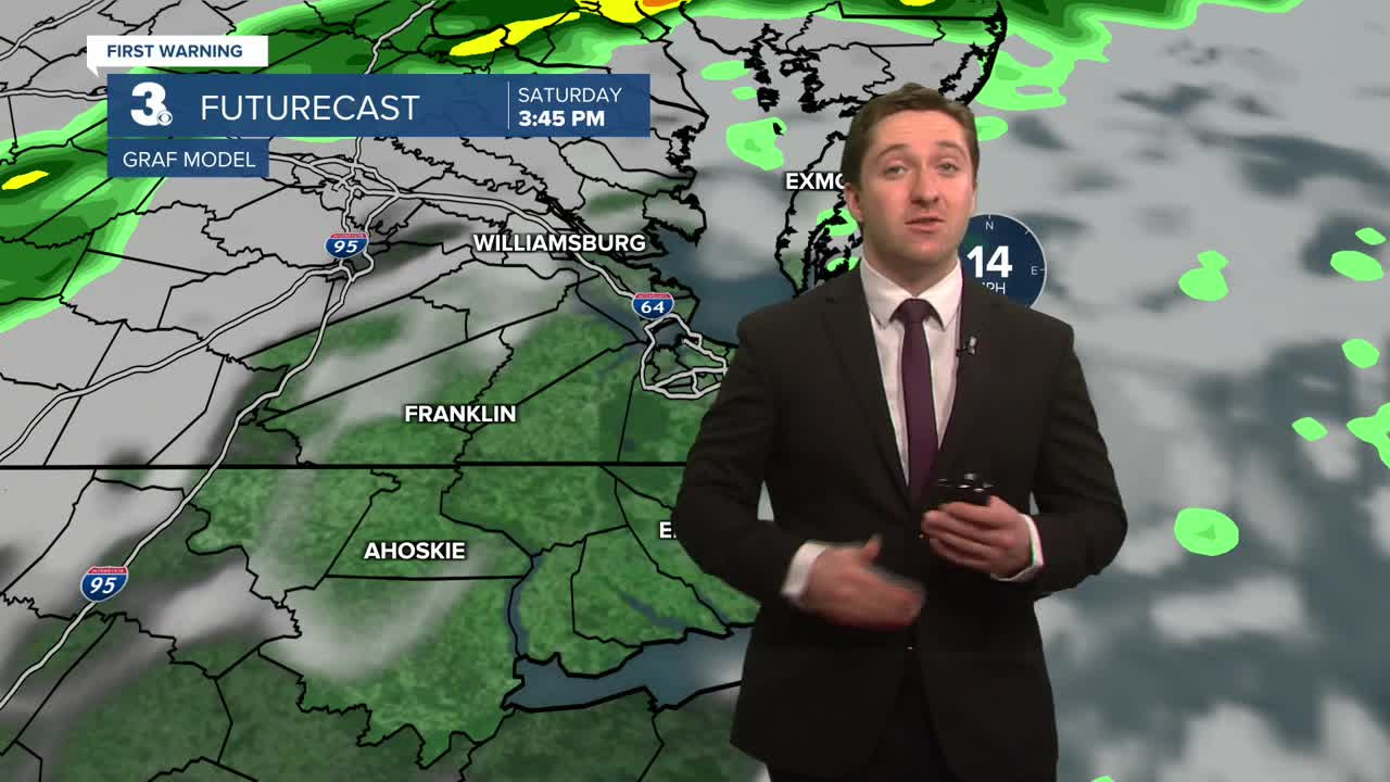
Tomorrow showers are possible in the morning followed by partial clearing during the afternoon. It will be much colder, with temperatures in the morning starting off in the upper 50s, dropping into the upper 40s by the afternoon. Winds will be strong out of the WNW at 15-25 mph, gusting over 30 mph at times. Overnight lows will drop down into the 20s and low 30s; a few slippery spots are possible Monday morning. Monday will be clear with lighter winds and cooler temperatures. Highs will reach the mid to upper 40s, with winds out of the S at 5-10 mph.


Temperatures will stay around normal in the 50s and upper 40s through Thursday. A low pressure system passing offshore next week could bring some rain/snow showers to the area by Friday.

Weather updates on social media:
