

Meteorologist Tony Nargi's First Warning Forecast
Today will be very cold, with temperatures starting off in the teens with wind chills near 0. An Extreme Cold Warning is in effect until 10 am. We'll see mostly sunny skies today along with winds out of the NW at 15-25 mph. High temperatures will reach the upper 20s to low 30s. Overnight clear skies are expected along with calming winds. Lows will drop into the teens once again.


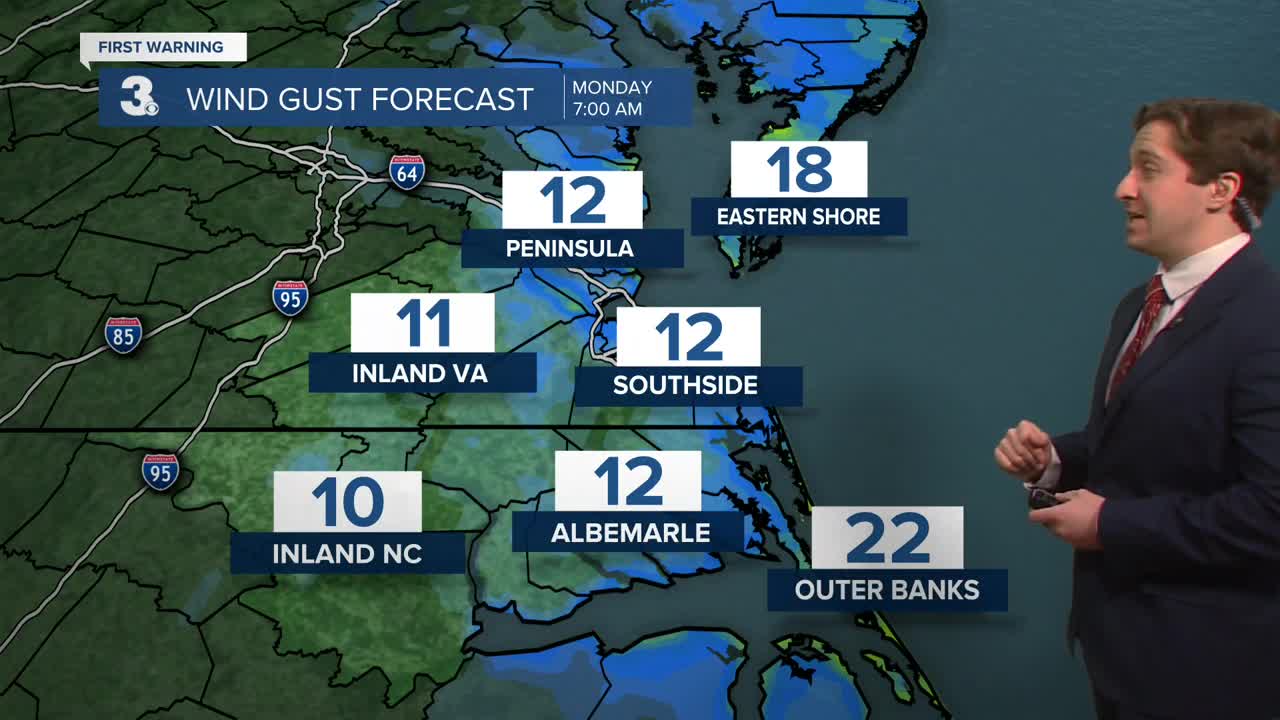
Tomorrow will be mostly sunny along with much lighter winds. We'll see mostly sunny to partly cloudy skies along with winds out of the N at 5-10 mph. High temperatures will reach the mid 30s. Overnight lows will not be quite as cold as previous nights, only dropping into the 20s. Tuesday will be a well deserved nice day across the region, with high temperatures reaching the low to mid 50s. We'll see partly cloudy skies along with winds out of the S at 10-15 mph.

Wednesday will see the return of some clouds and a few spotty showers as another cold front moves through. Temperatures will drop for the remainder of the week, with some rain/snow showers possible on Friday. Snowfall accumulation does not look likely at this time.

Weather updates on social media:
