

Meteorologist Tony Nargi's First Warning Forecast
This evening temperatures will drop back into the 30s after sunset, with winds staying light out of the SW at 5-10 mph. Overnight expect clear skies to stay in place with overnight lows dropping down into the 20s and low 30s.

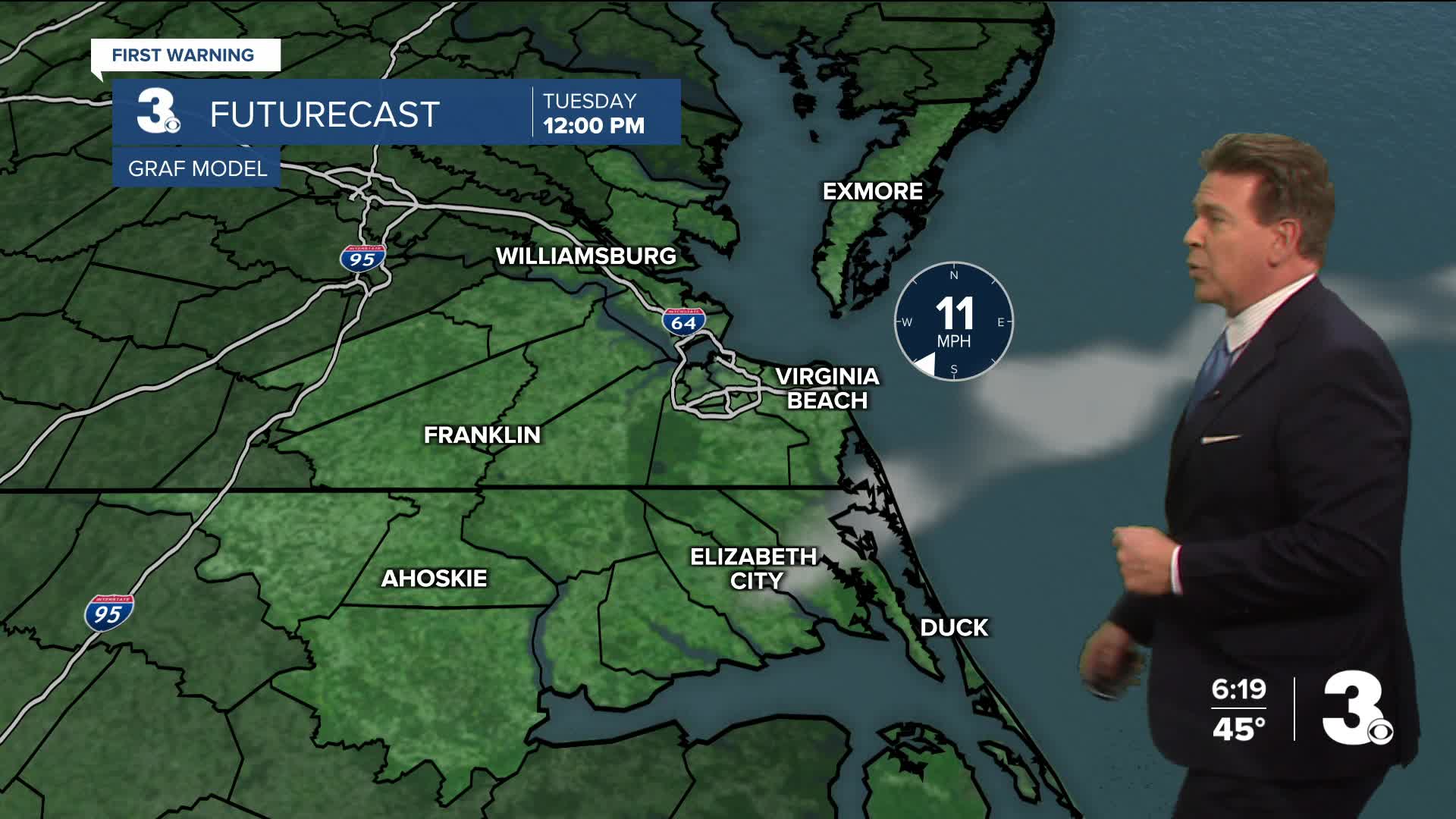
Tomorrow will be sunny once again, with near normal high temperatures in the low to mid 50s. Winds will be out of the SW at 10-15 mph, gusting over 20 mph at times. Tomorrow night won't be quite as cool as tonight, with overnight lows getting down to the mid to upper 30s on Wednesday morning. Wednesday will be the warmest day of the week, with high temperatures in the mid to upper 50s. We'll see building clouds on Wednesday morning, with some isolated showers possible. Showers will be more widespread on the Outer Banks. Winds will stay out of the SW at 10-15 mph.


Thursday will be interesting, with a cold front moving through early morning dropping temperatures throughout the day. We'll see cloudy skies along with a mix of rain and snow showers during the morning. No snow accumulation is expected, and this system has been trending drier, with only a 30% chance of precipitation expected now. Skies will clear during the day with temperatures dropping into the 30s by the afternoon. This weekend looks chilly with temperatures in the 40s and low 50s expected.

Weather updates on social media:
