

Meteorologist Tony Nargi's First Warning Forecast
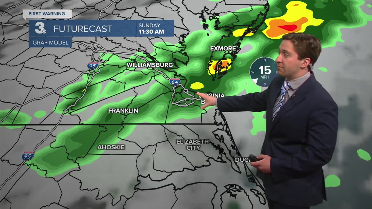
Today will start off mild with temperatures in the 60s and mostly cloudy with isolated showers possible. It will be warm again, with high temperatures reaching the low to mid 70s. During the afternoon mostly cloudy skies will stay in place, with showers and thunderstorms developing late in the afternoon and lasting through the evening. Some storms may produce gusty winds and small hail. Winds will be out of the SW at 10-20 mph, gusting up to 30 mph. Tonight, showers will taper off after midnight, with lows dropping into the 50s.


Tomorrow will start off with some clouds followed by partly cloudy skies during the afternoon. High temperatures will be around 70 degrees. Winds will be light out of the S at 5-10 mph. A pop-up shower or downpour is possible during the afternoon, though most will stay dry on Monday. Overnight lows will drop into the 50s again, with clearing skies. Tuesday will be mostly sunny and warm, with high temperatures reaching the upper 70s to 80. Winds will be out of the SW at 10-15 mph.


Wednesday will be another hot day, pushing 80 with near record high temperatures. The cooldown arrives on Thursday as a cold front pushes in during the morning, bringing showers and dropping temperatures during the afternoon. Temps will rebound to near normal Friday and Saturday.

Weather updates on social media:
