

Meteorologist Tony Nargi's First Warning Forecast
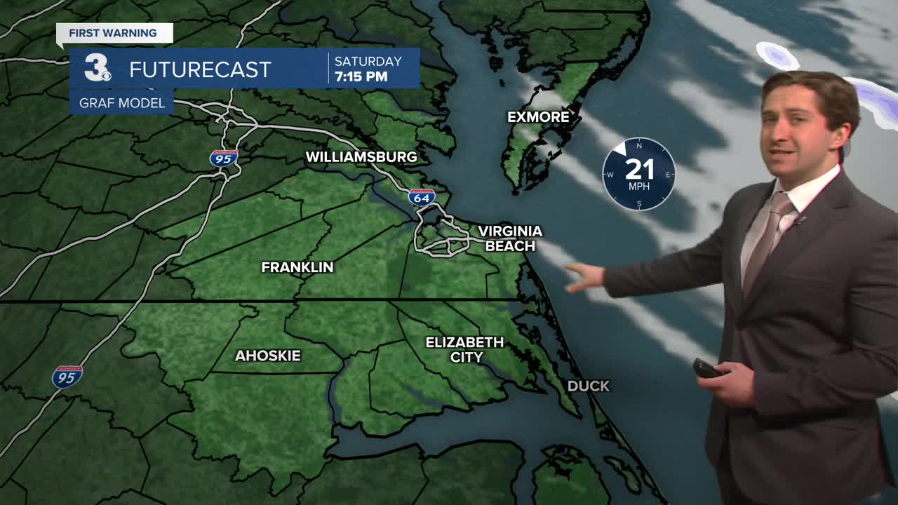
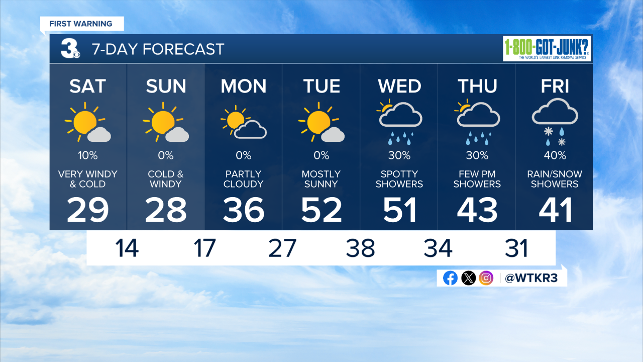
Today will be very cold and windy, with temperatures starting out in the upper 20s and dropping into the low to mid 20s by the afternoon. Winds will be out of the NW at 25-35 mph, gusting up to 40 mph inland and 60 mph along the coast. A High Wind Warning is in effect along the coast, and an Extreme Cold Warning is in effect tonight for most of Hampton Roads and Northeast North Carolina. We'll see mostly sunny skies today and clear skies overnight. Temperatures will drop into the low 10s overnight, with wind chills near 0.


Tomorrow will be mostly sunny along with windy and cold conditions again. Temperatures will only reach the mid to upper 20s, with winds out of the N at 15-25 mph, gusting up to 35 mph at times. Overnight lows will drop into the 10s again, with winds calming late Sunday night. Monday will be partly cloudy along with much lighter winds and slightly warmer temperatures. We'll see high temperatures in the mid 30s along with winds out of the E at 5-10 mph.

Temperatures finally get back to normal by midweek, with highs in the low 50s Tuesday and Wednesday. Some wet weather looks possible Wednesday through Friday, with scattered shower chances along with some rain/snow mix possible on Friday. The late week system looks fairly weak at this time and does not warrant much concern for accumulating snow.
Weather updates on social media:
