

Meteorologist Tony Nargi's First Warning Forecast
THIS MORNING: This morning rain and freezing rain will continue across our area with poor travel expected due to last night's snow and sleet along with freezing rain for far inland areas. Freezing rain in our far western counties including Gloucester, James City, York, Surry, Sussex, Southampton, and Northampton along with the cities of Franklin and Williamsburg will see over 0.25" of ice. This will lead to very poor travel for those areas, along with the potential for power outages. For eastern areas travel will be manageable as last night's snow melts.


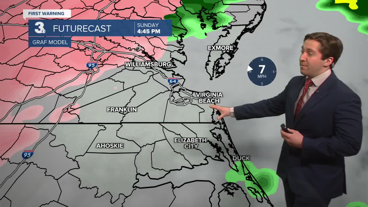
LATER TODAY: Further east rain will continue through midday with a lull in precipitation expected for everyone during the afternoon. This evening a line of heavy rain (some snowflakes may mix in) will move through lasting until around midnight. After that rain will clear out with dry conditions expected by Monday morning. Temperatures today will reach the 40s close to the coast with 50s on the Outer Banks, while inland areas will stay in the 20s to low 30s. Winds will be out of the NE at 10-20 mph during the morning, turning out of the W at 10-15 mph during the afternoon.


MONDAY: Tomorrow will start off with temperatures in the upper 20s to mid 30s, with some patchy ice possible due to refreeze. Travel should be manageable, but driving slower is recommended. We'll see clouds in the morning followed by some clearing during the afternoon. Some stray flurries are possible during the day. Highs will be in the mid to upper 30s. Winds will be out of the NW at 10-20 mph. Overnight temperatures will plummet into the 10s with single digits possible inland.

LOOKING AHEAD: Tuesday will be sunny and cold, with highs in the low 30s with breezy conditions expected. Cold weather will stay in place to end out January. Our next chance of snow will be on Thursday morning, with a clipper system bringing some scattered snow showers to Hampton Roads.

Weather updates on social media:
