Bill became extratropical 300+ miles east of Halifax, Nova Scotia. The post-tropical low is expected to dissipate on Wednesday.
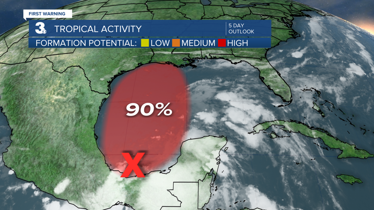
Disorganized showers and thunderstorms continue over the Bay of Campeche and southern Mexico in association with a broad low pressure area. This system will move little during the next day or so, and little if any development is expected during that time due to interaction with land. However, the broad disturbance should begin to move northward on Thursday, and a tropical depression is likely to form by late Thursday or on Friday when the low moves across the western Gulf of Mexico.
* Formation chance through 48 hours: Medium (60%)
* Formation chance through 5 days: High (90%)

First Warning Storm Team


