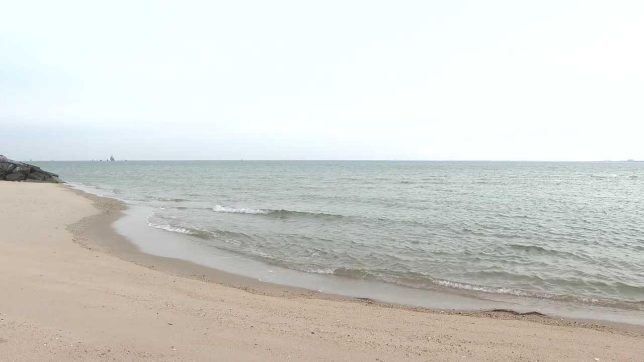


HAMPTON, Va. — As the water hits the beach at Fort Monroe in Hampton, it’s a reminder of the historic site’s vulnerability. It’s also a sign of potential opportunities.
“Sea level rise gives us a chance to create wetlands where there may be dry land now. It gives us the ability to create these moments of drama, where you get to see nature in its full power in the middle of a metro area with 1.7 million people," Fort Monroe Authority Director Scott Martin said.
Watch: As sea level rise persists, Hampton Roads planners stress need for climate plan
Sea level rise, along with tidal flooding and storm surge, is something people in Hampton could feel the affects of more than others in the future as the city sinks.
According to new research from Virginia Tech, Hampton is sinking at a rate of 2.3 millimeters a year.
“Hampton turned out to be one of the cities that the larger rates of land subsidence that we detected," Virginia Tech Geophysics Associate Professor Dr. Sarah Stamps said.
Watch: Rising sea level puts 103-year-old Hampton carousel in danger: City
Stamps helped put together the new research, which looked at the Chesapeake Bay as a whole and found it is sinking.
"The exact causes of all of the land subsidence and why Hampton Roads is larger than a lot of the other regions is still an open question," Stamps explained.
Having data on how much the area is sinking could be helpful as Fort Monroe tries to account for sea level rise.
Watch: Hampton City Council receives update on future development of Fort Monroe
“Everything about the landscape action plan is anticipating that," said Martin.
The data is also helpful for the Chesapeake Bay Foundation, which works to protect the bay.
Watch: Chesapeake Bay Foundation's Hampton River restoration project meets major milestone
“That just underscores our need to have resiliency plans in place and make sure that we’re preparing for current and future flooding, which will dramatically and exponentially increase," said Chesapeake Bay Foundation Hampton Roads Director Christy Everett.
Stamps said going forward, researchers will be taking yearly measurements and using additional technology to continue to monitor how the bay is moving.
