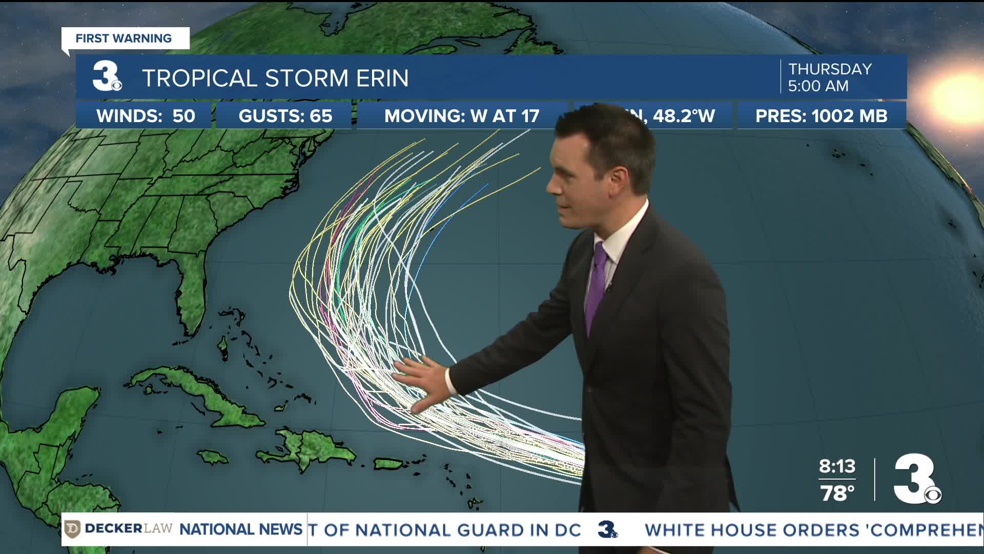


Tropical Storm Erin is forecast to become a hurricane by Friday.
Erin is centered about 990 miles east of the northern Leeward Islands as of Thursday morning and moving west at 17 mph.
This general motion is expected to continue into Thursday, with a WNW motion beginning tonight and continuing into the weekend. On the forecast track, the center of Erin is likely to move near or just north of the northern Leeward Islands over the weekend.
Maximum sustained winds are near 50 mph with higher gusts. Gradual strengthening is forecast during the next day or so, with more significant intensification possible on Friday and Saturday.
