


HAMPTON ROADS, Va. — A Winter Storm Warning is now effect for this weekend ahead of the forecasted snow, which may bring several inches to the Southside of Hampton Roads, and more to northeast North Carolina.
A Winter Storm Warning is one of three typical types of warnings that can be issued by the National Weather Service in advance of a storm.
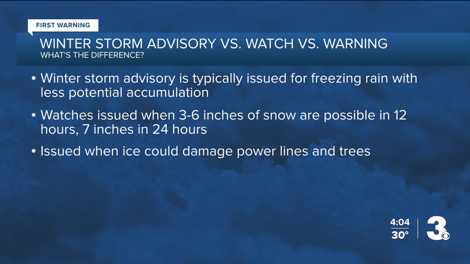
According to NWS, A Winter Storm Watch means conditions are favorable for a storm event that could be a threat to people or property. These can indicate 3-6 inches of snow within a 12-hour period, seven inches within a 24-hour period. Watches also are issued when ice may damage power lines and trees.
A Winter Weather Advisory is typically issued for freezing rain, but with less potential accumulation. This is not quite as serious as a Winter Storm Warning.
A Winter Storm Warning is the highest cause for concern. Warnings indicate a significant heavy snow hazard within 12-36 hours is highly likely. This also includes the potential for tree and power line damage and a life-threatening combo of snow or ice with wind.
Then there is, of course, a Blizzard Watch and Blizzard Warning. Blizzards are indicative of snow reducing visibility to 1/4 mile or less for at least three hours, according to NWS, with sustained winds or gusts 35mph or greater.
As this weekend's storm nears, we'll keep you updated about potential Watches, Advisories, and Warnings.

News
