

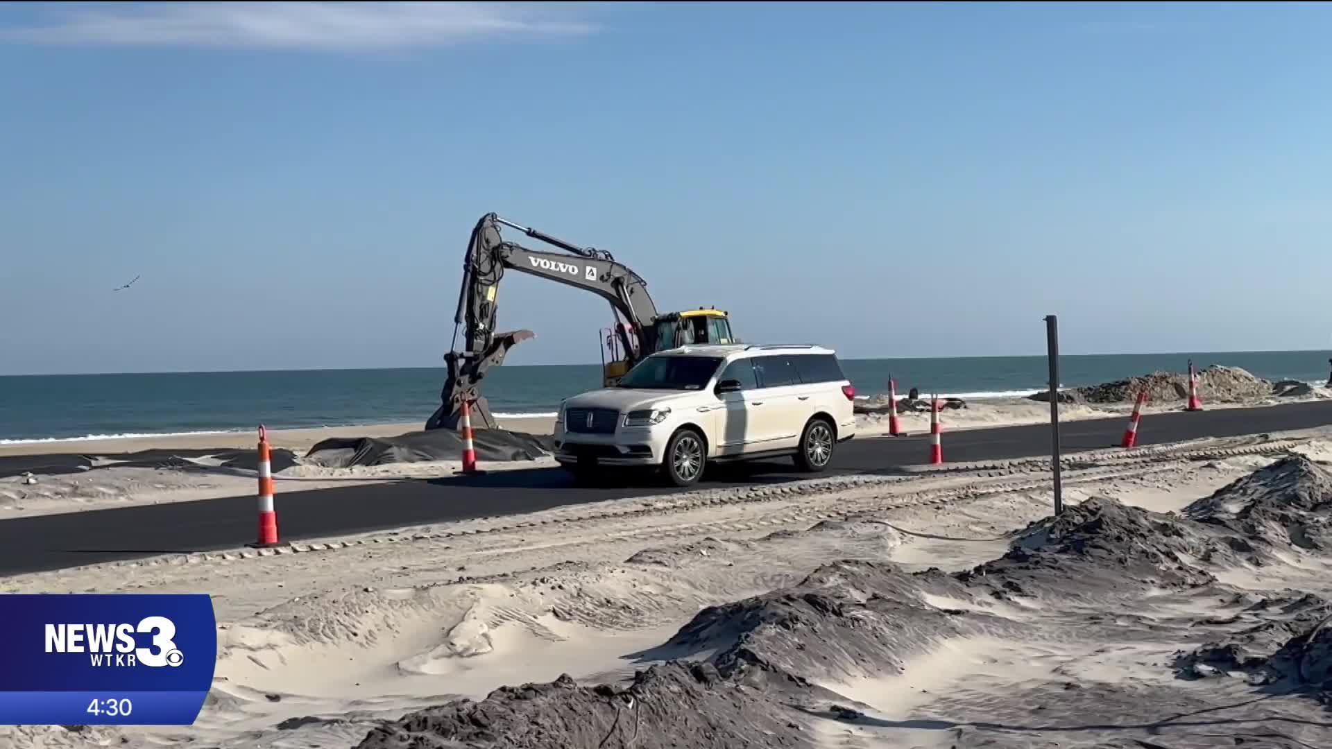


RODANTHE, N.C. — The traffic flow on N.C. 12 right now near the Pea Island National Wildlife Refuge Visitor Center is driven by two traffic lights for northbound and southbound traffic. That means you might have to wait a few minutes whichever way you're going, but Hatteras Island's lifeline is open.
N.C. 12 reopened two weeks ago with a one-lane paved detour and that continues to be the case on Thursday. A major sandbag project also began earlier this week to further protect the highway.
"The ultimate goal is that road cannot close," said Wendell Blancaflor, who operates the Hoy! Lechon food truck in Rodanthe.
Twice since late September, N.C. 12 has closed for an extended period of time because of more than a thousand feet of damage both times from coastal storms. The closures haven't just cut-off road access, but a critical month of business for business owners who operate on Hatteras Island.
"It's almost a month of business that we lost for me," said Blancaflor, who lives in Kill Devil Hills but has operated his food truck business in Rodanthe for the past five seasons.
"I had a pretty good first year going, and then October came and it just completely shut down," said Bo Melton, the owner of Heart of Rodanthe.
NCDOT has now submitted a proposal to relocate around 3,000 feet of N.C. 12 about 180 feet to the west of where it is now near the Pea Island Visitor Center. This is a short term solution that Hatteras Island neighbors had talked to News 3 previously about wanting to see.
"Obviously, something needs to be done, and the road is a temporary fix," said Melton.
"A good start," said Blancaflor.
Just like Blancaflor says, this would be a good start for Hatteras Island residents. But they tell News 3 that they are hoping their are ongoing discussions about what the long-term solution is going to be — they want that to be through elevated roads or bridges.
"In my opinion, road elevation will be the key," said Blancaflor
"I'm not an expert, no highway engineer, but it appears that you need to have some more series of bridges, like the Richard Etheridge Bridge. Once they put in that bridge, the inlet started closing up and building dunes," said Melton.
A public comment period is currently open for our neighbors to have their voices heard on the proposed road relocation until November 24th. If approved, the visitor center would also need to be relocated or reconstructed to make way.
The U.S. Fish and Wildlife Service and the National Park Service will be reviewing the proposal and make the decision on where it goes from here. More information about the proposal and how to submit public comment can be found here.
The full list of proposals in the application submission can be found below:
- Request for a new 100-foot highway easement (50 feet each side of the new centerline) and abandonment of the existing easement after removal of the old road.
- Construction of a new 30-foot-wide paved two-lane road immediately adjacent to the existing Cape Hatteras Electric Cooperative (CHEC) power line.
- Relocation of one power pole (Pole 75) approximately 15 feet west within the existing CHEC easement.
- Filling of approximately 1,714 square feet of potential jurisdictional wetlands and 2,317 square feet of open waters at the “turtle pond” behind the restrooms.
- Complete removal of the existing roadway and sandbags once traffic is switched to the new alignment.
- Construction of a new dune (approximately 15 feet high and 45 feet wide) largely within the existing highway easement, sprigged with sea oats or American beach grass depending on season.
- Demolition and reconstruction or relocation of the Pea Island National Wildlife Refuge Visitor Center, associated parking, and the North Pond restrooms and wastewater system, and adjustments to access for the North Pond Wildlife Trail and gated refuge administrative access.
Click here to see how we use AI at WTKR News 3.
