


NORFOLK, Va. — Flooding is a familiar challenge for residents in Norfolk’s Pretty Lake area, but city leaders say new infrastructure may soon offer hope.
The city, in partnership with the U.S. Army Corps of Engineers, is advancing preliminary plans for a coastal storm risk management project aimed at protecting the East Ocean View neighborhood from severe weather and rising sea levels.
“The Pretty Lake area is one of the target areas for the city’s coastal Storm Risk Management Project,” said Justin Shafer, Norfolk’s coastal resilience manager. “We’ve completed a feasibility study, and now we’ve started work on early designs and field assessments.”
Plans call for a floodgate near Shore Drive and walls extending into the community to keep out water from large nor’easters and hurricanes.
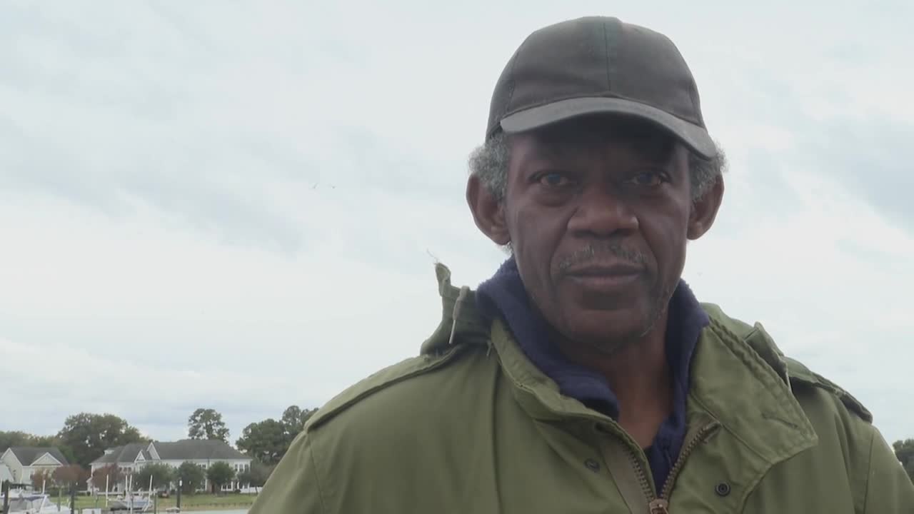
For longtime resident Ron Carpenter, who often fishes nearby, heavy rain means watching the water rise.
“The recreational area usually floods,” Carpenter said. “I’ve seen it get two to three feet high up here by the recreational area.”
Shafer says much of the design is still in the conceptual phase, with engineers factoring in new development and how the barrier would connect to higher ground.
“We want to protect to a level that would help us for 50 or 60 years into the future,” said Shafer, citing recent storms, one of which ranked in the top 20 on record for flooding at Sewells Point.
Some neighbors remain skeptical that the project will provide enough protection.
Shafer acknowledges the concerns, but says doing nothing risks more frequent and costly damage to homes, businesses, and city infrastructure.
Shafer says smaller fixes, like new valves and improved stormwater outfalls, help during mild flooding, but the city needs larger, long-term protections as storms grow stronger.
Project leaders hope to begin full design work in 2027, after the results of a neighboring Virginia Beach study.
“We’re looking at everything holistically,” Shafer said. “Protecting the community is our priority...even as we continue stormwater and shoreline upgrades to minimize flooding now.”
WTKR reached out to the East Ocean View Civic League (EOV). They sent us the following statement:
"The Flood Gate installation at the Shore Dr. Bridge is part of Phase 2 of the Coastal Storm Risk Management (CSRM) project. It is supposed to reduce the storm surge from entering Pretty Lake at Shore Dr. What the EOV Civic League has learned to date is that Norfolk's Office of Resilience understands the potential increased flooding impacts east of the Flood Gate and has identified additional infrastructure, such as floodwalls. The City has been responsive to our requests to ensure the current storm drainage system on East Pretty Lake Ave is inspected and cleaned; however, this system will remain ineffective until the area receives some benefit from Phase 2.
At this point in time, the CSRM project is beginning the six-month data collection effort in EOV. The effort includes a topographic survey and environmental and geotechnical data collection to support engineering studies for the infrastructure design."
