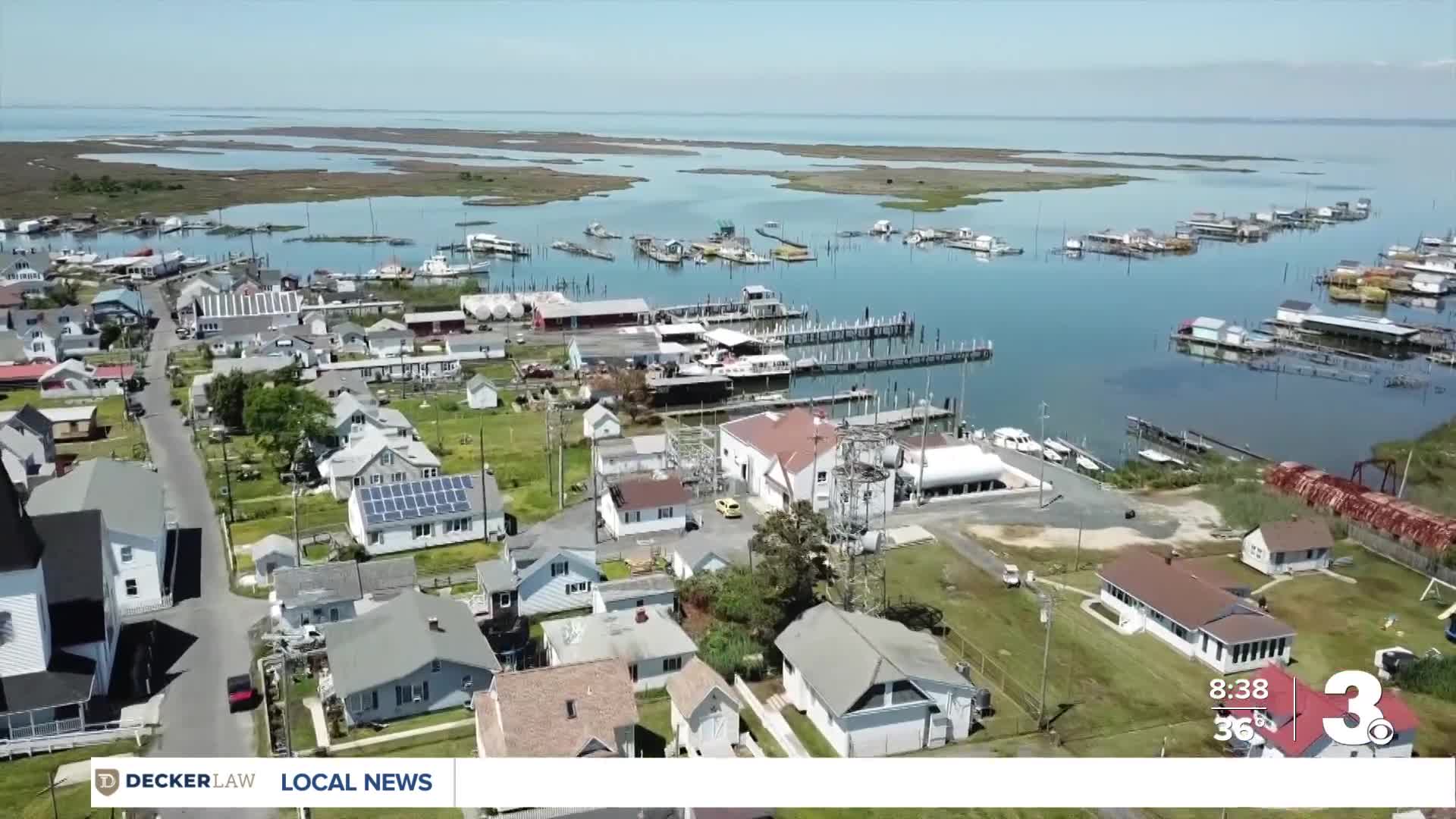


A number of cities are sinking around the Chesapeake Bay, with Hampton Roads becoming a focal point for this trend, according to a new study published by Virginia Tech.
The Virginia Tech study says land around the Chesapeake Bay is going through "subsidence," which describes the gradual sinking of the ground due to the loss of underground resources.
"Maximum subsidence occurs in the Hampton Roads region and the central eastern Delmarva Peninsula with the magnitude of subsidence decreasing northwards and inland," Virginia Tech's study reads.
For example, Hampton's rate of sinking is about 2.3 millimeters per year, according to the Virginia Tech study.
“Sea level isn’t just about the ocean rising,” said D. Sarah Stamps, an associate professor in the Department of Geosciences at Virginia Tech. “It’s also about what the land is doing. If the ground is sinking while the water is rising, the effect adds up.”
Satellites orbiting the Earth — dubbed the Global Navigation Satellite Systems — precisely measure surface movements across the world. These devices were used to provide data for Virginia Tech's study.
Virginia Tech says "localized groundwater withdrawal as well as long-term tectonic movements — specifically the retreat of ancient glaciers" were pointed to as possible reasons for this sinking trend around the Chesapeake Bay. Additionally, the report says "vertical land motion" around the Chesapeake Bay has been noted in surveys conducted between 1940 and 1971.
